Hirschbach is a town in the district of Gmünd in Lower Austria, Austria.

Neuhofen im Innkreis is a municipality in Upper Austria in the district of Ried im Innkreis.

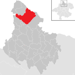
Tarsdorf is a municipality in the district of Braunau am Inn in the Austrian state Upper Austria.

Unterperfuss is a municipality in the district of Innsbruck-Land in the Austrian state of Tyrol located 15 km west of Innsbruck and is one of the smallest villages of Tyrol. The area is restricted in the north by the Inn River and in the east by the Melach River. Unterperfuss has many facilities for horse-riding.
Windigsteig is a municipality in the district of Waidhofen an der Thaya in the Austrian state of Lower Austria.

Burgkirchen is a municipality in the district Braunau am Inn in the Austrian state of Upper Austria.

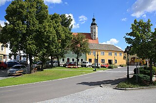
Feldkirchen bei Mattighofen is a municipality in the Braunau am Inn district in the Austrian state of Upper Austria. It is home to the Berglandmilch dairy, the largest cheese dairy in Austria.
Moosbach is a municipality in the Braunau am Inn in the Austrian state of Upper Austria.
Gschwandt is a municipality in the district of Gmunden in the Austrian state of Upper Austria.

Hargelsberg is a municipality in the district Linz-Land in the Austrian state of Upper Austria.
Niederneukirchen is a municipality in the district Linz-Land in the Austrian state of Upper Austria.

Arbing is a municipality in the district Perg in the Austrian state of Upper Austria.
Bad Kreuzen is a municipality in the district Perg in the Austrian state of Upper Austria.

Baumgartenberg is a municipality in the district Perg in the Austrian state of Upper Austria.
Dimbach is a municipality in the district Perg in Upper Austria, Austria. It had a population of 1015 according to the 2015 census.

Eitzing is a municipality in the district of Ried im Innkreis in the Austrian state of Upper Austria.
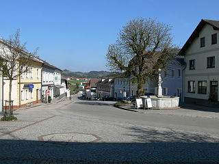
Sankt Peter am Wimberg is a municipality in the district of Rohrbach in the Austrian state of Upper Austria. It is located 173 km from Austria's capital city, Vienna. The municipality also observes Daylight saving time (DST).

Sankt Johann am Wimberg is a municipality in the district of Rohrbach in the Austrian state of Upper Austria.

Sankt Aegidi is a municipality in the district of Schärding in the Austrian state of Upper Austria.
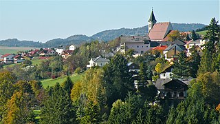
Lichtenberg is a municipality in the district of Urfahr-Umgebung in the Austrian state of Upper Austria.