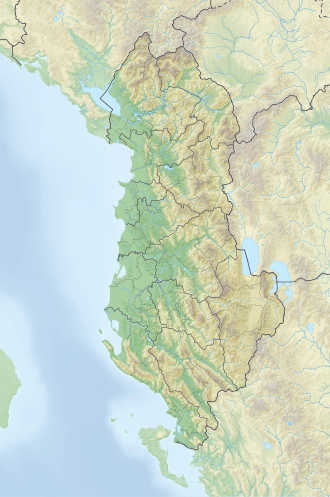
Shebenik (def. 'Shebeniku') is a mountain situated northeast of Librazhd municipality, in eastern Albania. Forming the focal point of Shebenik National Park, the mountain is surrounded by the upper Shkumbin valley to the west, the Rapuni valley to the northwest and Jabllanica to the south. Its highest peak, Maja e Shebenikut, reaches a height of 2,265m (7,431ft).[1]
Composed primarily of ultrabasic rocks, the mountain features a variety of glacial relief forms such as valleys, cirques and glacial lakes, rising above 1,600m (5,200ft). The nearby streams of Bushtricë and Qarrishte, which are tributaries of the Shkumbin river, originate from this area.[2]
Biodiversity
Vegetation predominantly consists of beech and oak forests. Bushes can be found in the lower regions, while alpine pastures cover the mountain ridge. The forests of Qarrishte host a diverse collection of wildlife, including bears, wild boars, roe deer, martens and wild pigeons.
The mountain is rich in iron-nickel and chrome ores, which are extracted from the mines of Bushtricë and Pishkash.[3]
↑Kabo, Mevlan (1991). Gjeografia Fizike e Shqipërisë (1.2ed.). Tiranë: Qendra e Studimeve Gjeografike. p.592.
↑Buda, Aleks (1985). Fjalori Enciklopedik Shqiptar. Tiranë: Akademia e Shkencave e RPSSH. p.1248.
This page is based on this Wikipedia article Text is available under the CC BY-SA 4.0 license; additional terms may apply. Images, videos and audio are available under their respective licenses.