Shorbachy Vtoryye

Last updated

Coordinates: 40°13′42″N48°54′23″E / 40.22833°N 48.90639°E / 40.22833; 48.90639

Geographic coordinate system Coordinate system

A geographic coordinate system is a coordinate system that enables every location on Earth to be specified by a set of numbers, letters or symbols. The coordinates are often chosen such that one of the numbers represents a vertical position and two or three of the numbers represent a horizontal position; alternatively, a geographic position may be expressed in a combined three-dimensional Cartesian vector. A common choice of coordinates is latitude, longitude and elevation. To specify a location on a plane requires a map projection.

Shorbachy Vtoryye
Azerbaijan adm location map.svg
Red pog.svg
Shorbachy Vtoryye
Coordinates: 40°13′42″N48°54′23″E / 40.22833°N 48.90639°E / 40.22833; 48.90639
CountryFlag of Azerbaijan.svg  Azerbaijan
Rayon Hajigabul
Time zone AZT (UTC+4)
  Summer (DST) AZT (UTC+5)

Shorbachy Vtoryye (also, Shorbanchi) is a village in the Hajigabul Rayon of Azerbaijan.

Azerbaijan Republic in Western Asia and Eastern Europe

Azerbaijan, officially the Republic of Azerbaijan, is a landlocked country in the South Caucasus region of Eurasia at the crossroads of Eastern Europe and Western Asia. It is bounded by the Caspian Sea to the east, Russia to the north, Georgia to the northwest, Armenia to the west and Iran to the south. The exclave of Nakhchivan is bound by Armenia to the north and east, Iran to the south and west, and has an 11 km long border with Turkey in the northwest.


Related Research Articles

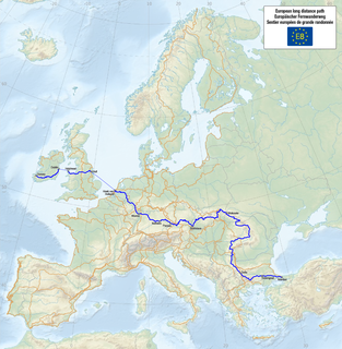
E8 European long distance path walking path

The E8 European long distance path or E8 path is one of the European long-distance paths, leading 4,700 km across Europe, from Cork in Ireland to Bulgaria.

Péhunco Place in Atakora Department, Benin

Péhunco or Péhonko is a town, arrondissement and commune located in the Atakora Department of Benin. The commune covers an area of 1,900 kilometres (1,200 mi) and as of 2002 had a population of 55,082 people.

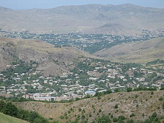
Myasnikyan Place in Armavir, Armenia

Myasnikyan is a town in the Armavir Province of Armenia. The town is named for Aleksandr Myasnikyan, first Communist president of Armenia. It is the location of Araks railway station.

Movses, Armenia Place in Tavush, Armenia

Movses ; also known as Mosesgegh, is a village in the Tavush Province of Armenia.

İkinci Yüzbaşılı Place in Agdam, Azerbaijan

İkinci Yüzbaşılı is a village in the Agdam Rayon of Azerbaijan. The village forms part of the municipality of Xındırıstan.

İkinci Paşalı Place in Hajigabul, Azerbaijan

İkinci Paşalı is a village in the Hajigabul Rayon of Azerbaijan. The village forms part of the municipality of Şorbaçı.

Şixandağ Place in Gobustan, Azerbaijan

Şixandağ is a village in the Gobustan Rayon of Azerbaijan.

Alybeyli Vtoryye Place in Zangilan, Azerbaijan

Alybeyli Vtoryye is a village in the Zangilan Rayon of Azerbaijan.

İkinci Ağalı Place in Zangilan, Azerbaijan

İkinci Ağalı is a village in the Zangilan Rayon of Azerbaijan.

Qayalı, Jalilabad Place in Jalilabad, Azerbaijan

Qayalı is a village in the Jalilabad Rayon of Azerbaijan.

İkinci Qaralı Place in Neftchala, Azerbaijan

İkinci Qaralı is a village in the Neftchala Rayon of Azerbaijan. The village forms part of the municipality of Yuxarı Qaramanlı.

Zawady Dworskie is a village in the administrative district of Gmina Gołymin-Ośrodek, within Ciechanów County, Masovian Voivodeship, in east-central Poland.

Kędzierzyn, West Pomeranian Voivodeship Village in West Pomeranian, Poland

Kędzierzyn is a village in the administrative district of Gmina Sianów, within Koszalin County, West Pomeranian Voivodeship, in north-western Poland. It lies approximately 5 kilometres (3 mi) west of Sianów, 6 km (4 mi) north-east of Koszalin, and 141 km (88 mi) north-east of the regional capital Szczecin.

Tân Thanh is a commune () and village in Lạng Giang District, Bắc Giang Province, in northeastern Vietnam.

Lục Sơn is a commune () and village in Lục Nam District, Bắc Giang Province, in northeastern Vietnam.

Rahmania Place in Algiers, Algeria

Rahmania is a suburb of the city of Algiers in northern Algeria.

Kasseler Kuppe is a mountain of Hesse, Germany.

Scheepvaartkwartier Neighborhood of Rotterdam in Rotterdam, South Holland, Netherlands

Scheepvaartkwartier is a neighborhood of Rotterdam, Netherlands.

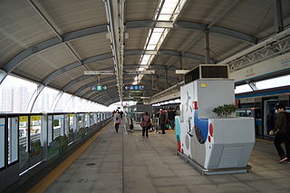
Universiade station Shenzhen Metro station

Universiade station is on Line 3 of the Shenzhen Metro between Jihe Highway and Huangge South Road. It is an elevated station, opening on 28 December 2010.

Robbins is an unincorporated community in Johnson County, in the U.S. state of Missouri.

References