
Golcar is a village on a hillside crest above the Colne Valley in the Kirklees district, in West Yorkshire, England, 3 miles (5 km) west of Huddersfield, and just north of the River Colne and the Huddersfield Narrow Canal.

Linthwaite is a village in the Kirklees district, in West Yorkshire, England. Historically part of the West Riding of Yorkshire, it is situated 4 miles (6.4 km) west of Huddersfield, on the A62 in the Colne Valley. The village together with Blackmoorfoot had a population of 3,835 according to the 2001 census.

Hartshead is a village in the Kirklees district of West Yorkshire, England, 3.7 miles (6 km) west of Dewsbury and near to Hartshead Moor.

Scammonden or Dean Head was a village close to Huddersfield, in the Dean Head Valley, England, before the valley was flooded to create Scammonden Reservoir in the 1960s. The M62 motorway crosses the dam wall and then passes through a cutting to the west over which Scammonden Bridge carries the B6114. The Chapel of St Bartholomew still exists, as does the old vicarage, which is now home to Scammonden Sailing Club.

Liversedge is an industrial town in the Kirklees district, in West Yorkshire, England. Historically part of the West Riding of Yorkshire, Liversedge lies between Cleckheaton and Heckmondwike. The Kirklees ward is now called Liversedge and Gomersal with a population at the 2011 Census of 19,420. Liversedge forms part of the Heavy Woollen District and was historically part of the parish of Birstall.
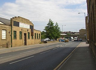
Ravensthorpe is an area of Dewsbury, in West Yorkshire, England. Historically part of the West Riding of Yorkshire, Ravensthorpe is on the western outskirts of Dewsbury and is part of the "Dewsbury West" ward in the district of Kirklees. The area has always been heavily industrial and was once bustling with textile mills.
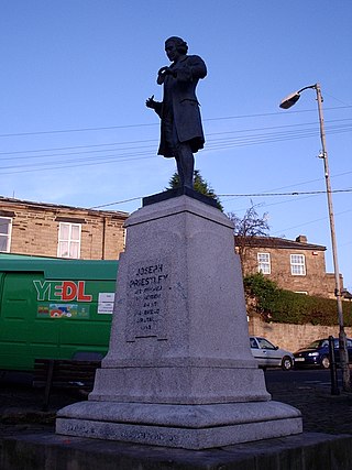
Birstall is a market and mill town in the metropolitan borough of Kirklees, West Yorkshire, England. It is part of the Birstall and Birkenshaw ward, which had a population of 16,298 at the 2011 census. Historically in the West Riding of Yorkshire, and part of the Heavy Woollen District, Birstall is approximately 6 miles (10 km) south-west of Leeds and situated close to the M62 motorway. The town is situated between Leeds, Bradford, Huddersfield and Wakefield.
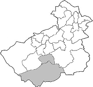
Holme Valley, formerly Holmfirth is a large civil parish in the metropolitan borough of Kirklees in West Yorkshire, England. It has a population of 25,049, increasing to 34,680 for the two wards in the 2011 Census. Its administrative centre is in Holmfirth. Other sizeable settlements in the parish include, Brockholes, Honley and New Mill. It is named from the River Holme that runs through the parish.

Lepton is a village near Huddersfield, in the civil parish of Kirkburton, in the Kirklees district of West Yorkshire, England. It is 4.25 miles (7 km) to the east of Huddersfield on the A642 road, 120 metres (390 ft) above the town centre directly north of Lepton Great Wood.
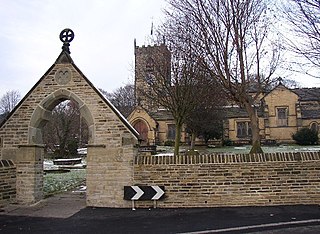
Kirkheaton is a village in the civil parish of Kirkburton, in the Kirklees district of West Yorkshire, England, Historically, it is part of the West Riding of Yorkshire. It is 3 miles (5 km) north-east of Huddersfield, in the Dalton ward of Kirklees Council. In 2021 it had a population of 3,496.

Greasbrough is a small suburb in Rotherham, in South Yorkshire, England. The suburb falls in the Greasbrough Ward of Rotherham Metropolitan Borough Council. Greasbrough had its own local council, Greasbrough UDC, until its absorption into the County Borough of Rotherham in 1936. Until 1974 it was in the West Riding of Yorkshire.

Flockton is a village in the civil parish of Kirkburton, in Kirklees, West Yorkshire, England. It is halfway between Huddersfield and Wakefield. In 2020, the population of Flockton and Flockton Green was estimated to be 2,107.
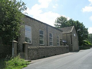
Scholes is a village and former civil parish, now in the parish of Holme Valley, in Kirklees, West Yorkshire, England. It is situated 1 mile (2 km) to the south-east and above Holmfirth, 7 miles (11 km) south-west of Huddersfield, in the Holme Valley. It has a population of 1,990. The name Scholes may have originated from the Scandinavian language meaning 'the temporary huts or sheds'.

Thurstonland is a village in the civil parish of Kirkburton, in Kirklees, West Yorkshire, England. It has a population of almost 400.

Farnley Tyas is a village in the parish of Kirkburton, in the Kirklees district, in the county of West Yorkshire, England 3 miles (4.8 km) south east of Huddersfield. It is located on a hilltop between Almondbury, Castle Hill, Thurstonland and Honley. It is mostly rural and farmland with private housing and some local authority social housing. In 1921 the parish had a population of 486.

Fixby is a suburb in north-west Kirklees bordering neighbouring Calderdale and is traditionally part of Huddersfield in the county of West Yorkshire, England.

Birkenshaw is a village in the borough of Kirklees in the county of West Yorkshire, England. It lies at the crossroads between the A58 Leeds to Halifax road and the A651 Bradford to Heckmondwike road. At the 2011 census, the village was located in the ward of Birstall and Birkenshaw, which had a population 16,298. Birkenshaw forms part of the Heavy Woollen District.

Norbury is in the Stockport district, in the county of Greater Manchester, England. A civil parish in Cheshire from 1866 to 1900, it now forms part of Hazel Grove in the metropolitan borough of Stockport.
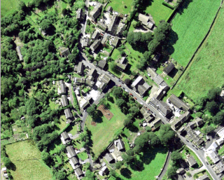
Wooldale is a village in the civil parish of Holme Valley, in the Kirklees district, in the county of West Yorkshire, England. It is nestled on a hill, overlooking the Kirkroyds area of New Mill. It has a population of 2,420.
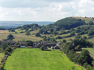
Fulstone is a village in the civil parish of Holme Valley, in the Kirklees district, in the county of West Yorkshire, England. It is about 5 miles from Huddersfield. Until 1974 it was in the West Riding of Yorkshire. In 1931 the parish had a population of 2127.


