Related Research Articles

Lower Saxony is a German state (Land) situated in northwestern Germany. It is the second-largest state by land area, with 47,624 km2 (18,388 sq mi), and fourth-largest in population among the 16 Länder federated as the Federal Republic of Germany. In rural areas, Northern Low Saxon and Saterland Frisian are still spoken, but the number of speakers is declining.
Osterholz is a district (Landkreis) in Lower Saxony, Germany. It is bounded by the districts of Wesermarsch, Cuxhaven, Rotenburg and Verden, and by the city of Bremen.
Rotenburg is a district (Landkreis) in Lower Saxony, Germany. It is landlocked by the districts of Stade, Harburg, Heidekreis, Verden, Osterholz and Cuxhaven.

Bremen-Verden, formally the Duchies of Bremen and Verden, were two territories and immediate fiefs of the Holy Roman Empire, which emerged and gained imperial immediacy in 1180. By their original constitution they were prince-bishoprics of the Archdiocese of Bremen and Bishopric of Verden.

Arensch is a local part of Cuxhaven, a town in Lower Saxony, Germany.

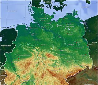
The North German Plain or Northern Lowland is one of the major geographical regions of Germany. It is the German part of the North European Plain. The region is bounded by the coasts of the North Sea and the Baltic Sea to the north, Germany's Central Uplands to the south, by the Netherlands to the west and Poland to the east.
The Stade Region emerged in 1823 by an administrative reorganisation of the dominions of the Kingdom of Hanover, a sovereign state, whose then territory is almost completely part of today's German federal state of Lower Saxony. Until 1837 the Kingdom of Hanover was ruled in personal union by the Kings of the United Kingdom of Great Britain and Ireland.

The Elbe marshes are an extensive region of marsh or polderland along the lower and middle reaches of the River Elbe in northern Germany. It is also referred to as the Lower Elbe Marsch by Dickinson and is region D24 in the BfN's list of the natural regions of Germany. The Germans refer to these polders as Marschen.
The Linteln Geest, shown on some maps as the Verden Heath, is a geest region in the north German state of Lower Saxony and belongs administratively to the borough of Kirchlinteln.

The region between the Elbe and Weser rivers forms the Elbe–Weser triangle, also rendered Elbe-Weser Triangle, in northern Germany. It is also colloquially referred to as the Nasses Dreieck or "wet triangle".

Bremen Switzerland is an undulating geest landscape in the north of Bremen and the adjacent district of Osterholz, and forms the western portion of the Osterholz Geest. In comparison to the rather flat land on which the city of Bremen is built and its surrounding area which is built on marsh and bog, Bremen Switzerland reaches heights of up to about 30 m above sea level (NN). The region of the Bremen Switzerland is framed by the Weser tributary of Lesum to the south, the Weser to the west, the marsh region of Osterstade to the northwest, the forest of Düngel to the north, the former B 6 federal route to Bremerhaven to the east and the adjoining heath of Lange Heide.

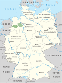
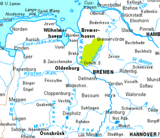
The Wildeshausen Geest is part of the northwest Germany's geest ridge, that begins near Meppen on the river Ems with the Hümmling, is broken by the Weser depression, continues with the Osterholz Geest and reaches the marshes of Kehdingen by the river Elbe with the ridges of the Wingst and Stade Geest. It gives its name to the eponymous nature park.

The Wümme Depression is a bog, geest and forest landscape within the Elbe–Weser triangle in the German state of Lower Saxony. It belongs mainly to the district of Rotenburg and is part of the Stade Geest. To the south it borders on the Achim-Verden Geest. It has no sharply defined boundary with the Lüneburg Heath; as a result many places are seen as belonging to both regions. Typical of the gently undulating terrain are the many small rivers, streams and lakes. These include the rivers Wümme, Wieste, Fintau, Rodau, Wiedau and Vissel, as well as the twin lakes known in German as the Bullenseen. In this ancient landscape Low German is commonly spoken.

The Weser Depression or Weser Lowlands is the region north of Porta Westfalica in Germany, where the River Weser no longer flows through a valley, but a broad plain consisting of meadows and river terraces.

The Osterholz Geest is an undulating, sandy area of ground moraine between the city of Bremen and the towns of Bremerhaven and Bremervörde.

Land Hadeln is a historic landscape and former administrative district in Northern Germany with its seat in Otterndorf on the Lower Elbe, the lower reaches of the River Elbe, in the Elbe-Weser Triangle between the estuaries of the Elbe and Weser.
The Zeven Geest, which is part of the Stade Geest, is an area of sandy terrain in the northeast of the German state of Lower Saxony. It is named after the town of Zeven.
The Wesermünde Geest is the collective name for several geest ridges in the west of Cuxhaven district and Bremen's North Borough in northern Germany. The ridges are separated from one another by wetlands. These terminal moraines were formed during the Saale glaciation, are up to between 10 to 70 m above sea level (NN), and are covered by scattered woods and farmland. The wetland areas, between 0 to 5 m above sea level, are predominantly used for grazing.
The Achim-Verden Geest is part of the Stade Geest. Its main part is in the northeast of the German state of Lower Saxony, a smaller part in the state of Bremen.
The Weser-Aller Plains and Geest is a natural regional unit of the North German Plain in Germany. It extends over most of the southern catchment of the Aller including the lower reaches of the Oker and Leine and is bounded in the west by the Middle Weser.
References
- ↑ Map of German natural regions Archived 2010-10-06 at the Wayback Machine
- ↑ The Bundesamt für Naturschutz or BfN.
- ↑ Divisions of the Stade Geest (see No. 63)
Coordinates: 53°23′21″N9°08′54″E / 53.3893°N 9.1483°E
| | This Lower Saxony location article is a stub. You can help Wikipedia by expanding it. |