
Igbon Island is an island and barangay in northeastern Iloilo, Philippines. It is part of the municipality of Concepcion. According to the 2010 census, it has a population of 2,547. The island is moderately known in the Philippines for its scuba diving.
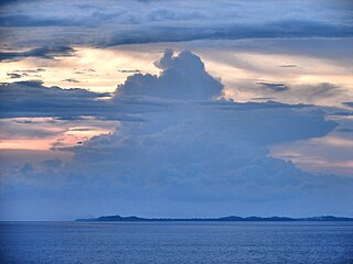
The Jintotolo Channel is the body of water that connects the Sibuyan Sea with the Visayan Sea. It is located between the Philippine islands of Panay and Masbate, and is an important shipping route to and from the Central Visayas.
Bayas Island is a small island and barangay in northeastern Iloilo, Philippines. It is part of the municipality of Estancia. According to the 2010 census, it has a population of 2,316. The Island was titled to Filomena Reyes Aclaro and is now shared to the locals.
Pangalan Islet is a low, uninhabited islet in northeastern Iloilo, Philippines. It is part of the municipality of Estancia under the jurisdiction of the barangay of Manipulon.
Agho Island is a small, mostly uninhabited island in northeastern Iloilo, Philippines. It is part of the municipality of Concepcion.
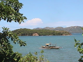
The Concepcion Islands are 17 variously inhabited and uninhabited islands in northeastern Iloilo, Philippines. The islands are politically subdivided into 11 island barangays and are part of the municipality of Concepcion. According to the 2010 census, the islands collectively have a population of 19,080, 48 percent the total population of Concepcion.
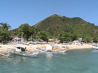
Tago Island is a mountain, which is also the eponymous whole island, in northeastern Iloilo, Philippines. It is part of the municipality of Concepcion.
Botlog Island is an island and barangay in northeastern Iloilo, Philippines. It is part of the municipality of Concepcion. According to the 2010 census, it has a population of 441.
Malangabang is an island and barangay in northeastern Iloilo, Philippines. It is part of the municipality of Concepcion. According to the 2010 census, it has a population of 2,925. Fishing is the main source of income for the island's residents.The Owner is Honorato Ciriaco.
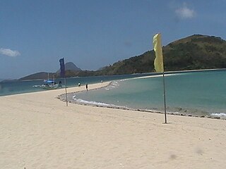
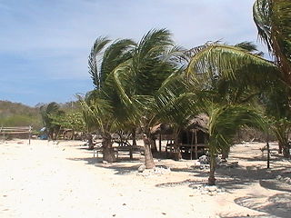
Bulubadiangan Island is a privately owned island in northeastern Iloilo, Philippines. It is part of barangay Polopińa, Concepcion. The Sandbar Island Beach Resort on Bulubadiangan is moderately known within the Philippines.
Danao-Danao Island is a small, low-lying island in northeastern Iloilo, Philippines. It is part of the municipality of Concepcion.
Baliguian Island is an inhabited island in northeastern Iloilo, Philippines. It is the westernmost of the Concepcion Islands and politically administered by the municipality of Concepcion. A virtually flat island, Baliguian features a lighthouse to aid in ship navigation.
Manigonigo Island is an island in northeastern Iloilo, Philippines. It is one of fourteen islands politically administered by the municipality of Carles. The island's lighthouse was built by the Spanish during Spanish rule.
Bocot Island is a small island in northeastern Iloilo, Philippines. It is part of the municipality of Concepcion.
Bag-o Isi Island is a small island in northeastern Iloilo, Philippines. It is part of the municipality of Concepcion.
Sombrero is a small, cone-shaped island in northeastern Iloilo, Philippines. It is part of the municipality of Concepcion.
Bag-o Abo is a small, wooded island in northeastern Iloilo, Philippines. It is part of the municipality of Concepcion.
Colebra is an island in northeastern Iloilo, Philippines. It is part of the municipality of Concepcion.
Magalumbi is an island in northeastern Iloilo, Philippines. It is part of the municipality of Batad, although the official provincial government website lists it as an offshore island of Estancia. Magalumbi is part of barangay Tanao, which has a population of 1,903 according to the 2010 census.
Manlot is an island-barangay in northeastern Iloilo, Philippines. It is one of fourteen islands politically administered by the municipality of Carles.
