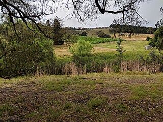
Darbalara is a rural community on the east bank of the junction of the Murrumbidgee River and Tumut River in the Riverina. It is situated by road, about 25 kilometres north east of Gundagai and 25 kilometres south of Coolac.

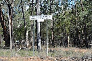
Baradine County is one of the 141 Cadastral divisions of New South Wales. It is bounded in the north by the Namoi River, and includes the land south to Coonabarabran, which is on its southern edge. This includes land on both sides of the Baradine Creek and the town of Baradine.

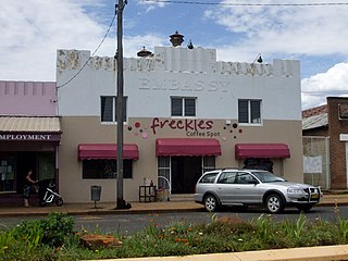
Baradine is a small town in north western New South Wales, Australia. At the 2021 census, Baradine had a population of 593.
Murrawal is a location on the now closed Gwabegar railway line in north-western New South Wales, Australia. A loop and loading bank station was located there between 1917 and 1972.

Nanima is a locality in the Yass Valley Council area, New South Wales, Australia. It lies on both sides of the Murrumbateman Road between Murrumbateman and Gundaroo, about 37 km north of Canberra. At the 2021 census, it had a population of 252.

Blowering, New South wales is a rural locality in the Snowy Mountains of New South wales and a civil Parish of Buccleuch County.
Goobarragandra, New South Wales is a rural locality in the Snowy Mountains west of Canberra, Australia.
Wyangle, New South Wales is a bounded rural locality west of Canberra, Australia and about 16 km. north-east of Tumut.
Yarrangobilly, New South Wales is a rural locality in the Snowy Mountains, west of Canberra, Australia, and is also a civil Parish of Buccleuch County.
Quegobla is a civil parish of Baradine County, New South Wales.
Meit Parish is a civil parish of Baradine County, New South Wales.

Pilliga Parish (Baradine County) is a civil parish of Baradine County, New South Wales.
Urawilkie, New South Wales is a remote Rural locality of New South Wales and a civil Parish of Baradine County.
Euligal located at 30°41′54″S 149°05′04″E in Narrabri Shire is a civil parish of Baradine County, New South Wales. Euligal is in the Pilliga forest.
Ulambie is a rural locality of Walgett Shire and a civil parish of Baradine County, New South Wales. Ulambie is on the Namoi River at 30°05′54″S 148°12′04″E between Walgett, New South Wales and Come By Chance.
Toorawandi is a civil parish of Napier County in New South Wales.
Biralbung, New South Wales is a bounded rural locality of Gilgandra Shire and a civil parish of Gowen County, a civil county of New South Wales.

Elongery, New South Wales is a bounded rural locality of Wurrumbungle Shire and a civil parish of Baradine County, New South Wales.
Neurea Parish, New South Wales is a civil parish of Gordon County, New South Wales, a Cadastral divisions of New South Wales.
Wandawandong, New South Wales is a civil parish of Gordon County, New South Wales.


