
U.S. Route 411 (US 411) is an alternate parallel-highway associated with US 11. It extends for about 309.7 miles (498.4 km) from US 78 in Leeds, Alabama, to US 25W/US 70 in Newport, Tennessee. US 411 travels through northeastern Alabama, northwestern Georgia, and southeastern Tennessee. It is signed north-south, as with most highways that have odd numbers, but the route runs primarily in a northeast-southwest direction, and covers a more east-west mileage than it does north-south. Notable towns and cities along its route include Gadsden, Alabama; Rome, Georgia; Cartersville, Georgia; Maryville, Tennessee; Sevierville, Tennessee, and Newport, Tennessee.

Claxton is an unincorporated community in Anderson County in the U.S. state of Tennessee.

U.S. Route 25W (US 25W) is the western branch of US 25 from Newport, Tennessee, where US 25 splits into US 25E and US 25W, to North Corbin, Kentucky, where the two highways rejoin.

State Route 66 is a state-maintained highway in eastern Tennessee, including a six-lane divided highway known as Winfield Dunn Parkway in Sevier County, a four-lane expressway in Hamblen and Jefferson counties and a two-lane rural collector through mountainous terrain continuing to the northeast terminus in Hancock County.

State Route 62 is a 87.5-mile-long (140.8 km) west-to-east highway in the U.S. state of Tennessee. It is designated as a primary route except for the short segment between SR 169 and its eastern terminus, which is secondary.

State Route 131 is a south-to-north highway in the U.S. state of Tennessee that is 68.8 miles long. It is designated as a secondary route.

State Route 61 is a west-to-east highway in the U.S. state of Tennessee that is 81.67-mile-long (131.44 km). State Route 61 begins in Roane County, and it ends in Grainger County.
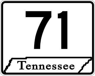
State Route 71 is a north–south state highway in Tennessee. For most of the length it is a "hidden" route, as it coincides with US 441 in all but a short section in Knoxville. The road begins at the North Carolina state line in Sevier County within the Great Smoky Mountains National Park at Newfound Gap and ends at an intersection with US 25W, SR 116, and SR 9 (hidden) in Rocky Top. Along its length SR 71 passes through Sevier County, a small portion of Blount County, Knox County, Anderson County, and in and out of Campbell County. Despite being signed on Hall of Fame Parkway in Knoxville, Tennessee, the Knox County TDOT map ignores SR 71 while SR 33 has a concurrency with US 441.

U.S. Route 27 (US 27) in Tennessee runs from the Georgia state line in Chattanooga to the Kentucky state line in Isham. It forms the informal border between the Eastern and Central timezones of the state. It stays, however, in the Eastern Time Zone.

State Route 100 is a west–east state highway in both West Tennessee and Middle Tennessee that connects Whiteville with Nashville. It is 158.31 mi (254.8 km) long.

State Route 8 is a 75.43-mile-long (121.39 km) north–south state highway in East and Middle Tennessee. It connects the cities of Chattanooga and McMinnville via Signal Mountain and Dunlap.

State Route 67 is a state-maintained highway in northeastern Tennessee, including a four-lane divided highway segments in both Washington County and Carter County, and part of a significant two-lane segment passing over the Butler Bridge some 80 feet (24 m) above the TVA Watauga Reservoir near Butler in Johnson County, Tennessee.

U.S. Route 441 stretches for 83.28 miles (134.03 km) through the mountains of East Tennessee, connecting Rocky Top with Knoxville, Sevierville, Gatlinburg, and the Great Smoky Mountains National Park, crossing into North Carolina at Newfound Gap. Near its northern terminus, US 441 crosses over Norris Dam and passes through Norris Dam State Park.

U.S. Route 421 is a north–south United States highway that runs for 43.4 miles (69.8 km) in East Tennessee, connecting the cities of Mountain City and Bristol.

State Route 33 is a primary and secondary route in East Tennessee. It runs 176 miles, from the Georgia state line in Polk County, northeast to the Virginia state line north of Kyles Ford in Hancock County. South of Maryville, SR 33 is a "hidden" route which shares a concurrency with US 411.

State Route 32 is a state highway in East Tennessee. For most of its route, it is an unsigned companion route concurrent with U.S. Route 25E. The highway stretches 89 miles from the North Carolina state line to the Tennessee-Kentucky state line near the town of Cumberland Gap.

State Route 144 is a 7.9-mile-long (12.7 km) state highway in Union County, Tennessee. It connects Hickory Star and Maynardville with Plainview.
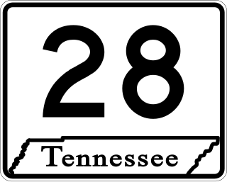
State Route 28 is a state highway in the state of Tennessee, traversing the state in a north–south axis from south of Jasper to the Kentucky state line at Static.

State Route 297 is a 62.0-mile-long (99.8 km) east–west secondary state highway in Middle and East Tennessee. It is the primary road in and out of Scott State Forest and Big South Fork National River and Recreation Area, where it is known as Leatherwood Ford Road.
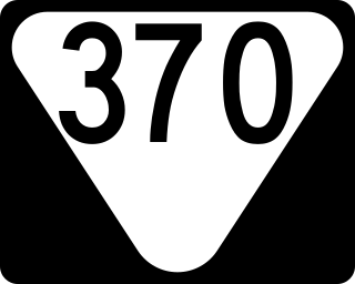
State Route 370 is a 5.8-mile-long (9.3 km) north–south state highway in Union County, Tennessee. It connects the community of Potato Valley with the cities of Plainview and Maynardville.

