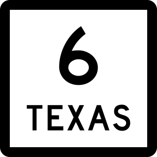
State Highway 6 (SH 6) runs from the Red River, the Texas–Oklahoma state line, to northwest of Galveston, where it is known as the Old Galveston Highway. In Sugar Land and Missouri City, it is known as Alvin-Sugarland Road and runs perpendicular to Interstate 69/U.S. Highway 59 (I-69/US 59). In the Houston area, it runs north to Farm to Market Road 1960 (FM 1960), then northwest along US 290 to Hempstead, and south to Westheimer Road and Addicks, and is known as Addicks Satsuma Road. In the Bryan–College Station area, it is known as the Earl Rudder Freeway. In Hearne, it is known as Market Street. In Calvert, it is known as Main Street. For most of its length, SH 6 is not a limited-access road. In 1997, the Texas Legislature designated SH 6 as the Texas Korean War Veterans Memorial Highway.

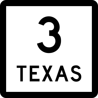
State Highway 3 is a state highway in the U.S. state of Texas that runs from Interstate 45 in Houston near William P. Hobby Airport to State Highway 146, 9.9 miles (15.9 km) northwest of Galveston. For most of its length, SH 3 parallels I-45 and runs alongside the former Galveston, Houston and Henderson Railroad lines.

State Highway 7 (SH 7) is an east–west state highway in the U.S. state of Texas that runs from Interstate 35 at Eddy to U.S. Highway 84 about 3 miles (4.8 km) west of the Louisiana state line. Between Crockett and Nacogdoches, SH 7 passes through the Davy Crockett National Forest. Commissioned on April 4, 1917, SH 7 is one of the original state highways established in Texas, and has been re-routed several times since its original conception. In earlier years, SH 7 mostly followed present day U.S. Highway 84, U.S. Highway 67, U.S. Highway 70 among other highways between northwest Texas and the Louisiana state line. By 1939, most of the mileage belonging to SH 7 was transferred to the U.S. Highway System, leaving the highway extant only within eastern Texas. SH 7 subsequently went through several other major reroutings, truncations and extensions between 1939 and 1990, before becoming the highway it is today.

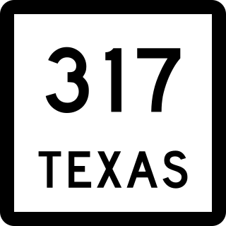
State Highway 317 is a Texas state highway that runs north–south from Valley Mills to the intersection of Interstate 35, Interstate 14, and U.S. Highway 190 in Belton. This route was designated on May 23, 1939 from Belton to McGregor, with an extension north to Valley Mills on October 29, 1947.

State Highway 204 is a Texas state highway running from Jacksonville southeast to US 259 north of Nacogdoches. This route was designated on May 15, 1934 replacing the east leg of SH 110 from US 259 north of Nacogdoches to SH 110. On October 31, 1958, SH 204 was extended west to its current end in Jacksonville.

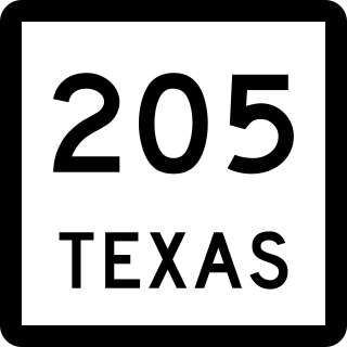
State Highway 205 is a Texas state highway that runs from US 80/FM 148 in Terrell, traveling through Rockwall before ending at SH 78 in Lavon.

State Highway 213 is a short state highway running from SH 305 near Lipscomb to US 60/FM 1453 in Higgins in the eastern Texas Panhandle.

State Highway 304 is a Texas state highway that runs in a north–south direction between Bastrop and Gonzales, Texas, United States. The highway's current route was in place by 1938.

State Highway 309 is a Texas state highway that runs from Kerens south to U.S. Highway 287 near the Richland-Chambers Reservoir. This route was designated on February 20. 1939 along its current path, which extended another mile to the south. On March 29, 1990, SH 309 was rerouted in Kerens along Senter Avenue rather than Fourth Street and Colket Avenue. This section, from the new route of US 287 south to the old location of US 287, was removed on November 29, 1990, as portions of the route and US 287 were submerged by the newly impounded Richland Chambers Reservoir.


