
State Highway 6 (SH 6) runs from the Red River, the Texas–Oklahoma state line, to northwest of Galveston, where it is known as the Old Galveston Highway. In Sugar Land and Missouri City, it is known as Alvin-Sugarland Road and runs perpendicular to Interstate 69/U.S. Highway 59 (I-69/US 59). In the Houston area, it runs north to Farm to Market Road 1960 (FM 1960), then northwest along US 290 to Hempstead, and south to Westheimer Road and Addicks, and is known as Addicks Satsuma Road. In the Bryan–College Station area, it is known as the Earl Rudder Freeway. In Hearne, it is known as Market Street. In Calvert, it is known as Main Street. For most of its length, SH 6 is not a limited-access road. In 1997, the Texas Legislature designated SH 6 as the Texas Korean War Veterans Memorial Highway.

State Highway 40 or William D. Fitch Parkway, runs from Farm to Market Road 2154 (FM 2154) to SH 6 in College Station, Texas. The current SH 40 was authorized in 1994. Signage for the highway went up March 2006 and the road was officially opened June 23, 2006.

State Highway 7 (SH 7) is an east–west state highway in the U.S. state of Texas that runs from Interstate 35 at Eddy to U.S. Highway 84 about 3 miles (4.8 km) west of the Louisiana state line. Between Crockett and Nacogdoches, SH 7 passes through the Davy Crockett National Forest. Commissioned on April 4, 1917, SH 7 is one of the original state highways established in Texas, and has been re-routed several times since its original conception. In earlier years, SH 7 mostly followed present day U.S. Highway 84, U.S. Highway 67, U.S. Highway 70 among other highways between northwest Texas and the Louisiana state line. By 1939, most of the mileage belonging to SH 7 was transferred to the U.S. Highway System, leaving the highway extant only within eastern Texas. SH 7 subsequently went through several other major reroutings, truncations and extensions between 1939 and 1990, before becoming the highway it is today.

State Highway 10 (SH 10) runs from SH 183 in Euless to the intersection of I-820, SH 121 and SH 183 in Hurst. This highway was created when a portion of SH 183 was rerouted on August 29, 1979. It is locally known as Hurst Boulevard and Euless Boulevard. It passes near the main facility of Bell Helicopter Textron.

State Highway 18 is a state highway in the U.S. state of Texas maintained by the Texas Department of Transportation (TxDOT) that runs from Fort Stockton in western Texas to the New Mexico state line between Kermit and Jal, New Mexico. This route was designated in 1958 over the northern half of what was previously SH 82.
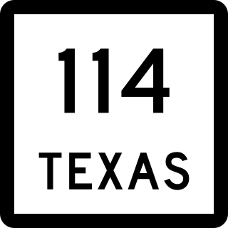
State Highway 114 is a state highway that runs from the Dallas-Fort Worth Metroplex westward across Texas to the New Mexico state line, where it becomes New Mexico State Road 114, which eventually ends at Elida, New Mexico at US 70 / NM 330.

State Highway 27 is located in Kerr and Kendall counties and runs parallel to Interstate 10.
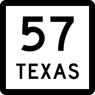
State Highway 57 is a 1.474-mile (2.372 km) Texas state highway located in Tyler.
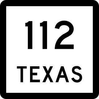
State Highway 112 (SH 112) is a short state highway that runs through the northern portions of Eastland County in the U.S. state of Texas. The routing was previously designated as State Highway 69 in 1971. Vandalism to the road signage as a result of its numbering had reached epidemic proportion by 1989, driving a resolution that the number of the road needed to be changed. The cost of resigning the roadway was considered reasonable by local governments, compared to that of the measures by law enforcement agencies that would be necessary to stop the vandalism. In 1992, the district requested and was granted renumbering of this route to State Highway 112.
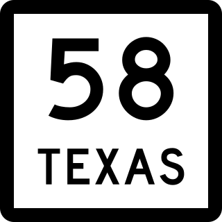
State Highway 58 was a state highway in the U.S. state of Texas maintained by the Texas Department of Transportation (TxDOT). The highway was located within the city of Midland in Midland County. The route began at I-20 in south Midland and follows Cotton Flat Rd. and S. Garfield St.) to Spur 268 and Bus. SH 158 in central Midland and intersected BL I-20 in central Midland. The route was designated in 2009, and completed by 2011. The route was decommissioned in 2011 and became a rerouted Business State Highway 158-B. The SH 58 designation was assigned to a highway along the Gulf Coast in the 1920s and 1930s.


