Meagher County is a county located in the U.S. state of Montana. As of the 2020 census, the population was 1,927. Its county seat is White Sulphur Springs.

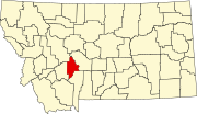
Broadwater County is a county in the U.S. state of Montana. As of the 2020 census, the population was 6,774. Its county seat is Townsend. The county was named for Charles Arthur Broadwater, a noted Montana railroad, real estate, and banking magnate.

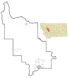
Radersburg is a census-designated place (CDP) in Broadwater County, Montana, United States. The population was 66 at the 2010 census.

Toston is a census-designated place (CDP) in Broadwater County, Montana, United States. The population was 108 at the 2010 census.

Townsend is a city in and the county seat of Broadwater County, Montana, United States. The population was 1,787 at the 2020 census.

Winston is a census-designated place (CDP) in Broadwater County, Montana, United States. The population was 147 at the 2010 census.

Coram is an unincorporated community and census-designated place (CDP) in Flathead County, Montana, United States. The population was 539 in 2010, up from 337 at the 2000 census. Coram lies 7 miles (11 km) southwest of the western entrance of Glacier National Park.

Evergreen is a census-designated place (CDP) in Flathead County, Montana, United States. Its population was 8,149 at the 2020 census, up from 7,616 at the 2010 census, and 6,215 in 2000.

Hungry Horse is an unincorporated community and census-designated place (CDP) in Flathead County, Montana, United States. The population was 828 at the 2020 census. The ZIP code for Hungry Horse is 59919.
Lakeside is an unincorporated area and census-designated place (CDP) in Flathead County, Montana, United States. The population was 2,669 at the 2010 census, up from 1,679 in 2000.

Four Corners is a census-designated place (CDP) in Gallatin County, Montana, United States. The population was 3,146 at the 2010 census, up from 1,828 in 2000. It is part of the Bozeman, MT Micropolitan Statistical Area.

Elmo is a census-designated place (CDP) in Lake County, Montana, United States. The population was 180 at the 2010 census, up from 143 in 2000.

Woods Bay is a census-designated place (CDP) in Lake County, Montana, United States. The population was 661 at the 2010 census, down from 748 at the 2000 census.
Augusta is an unincorporated community and census-designated place (CDP) in Lewis and Clark County, Montana, United States. The population was 309 at the 2010 census and rising to 316 in the 2020 census. The most accepted version in the naming of this town is after Augusta Hogan, thought to be the first child born in this town, the daughter of J. D. Hogan, an early rancher.

Joplin is a unincorporated community and census-designated place (CDP) in Liberty County, Montana, United States. The population was 157 at the 2010 census.
Box Elder is an unincorporated community and census-designated place (CDP) in Hill County in the U.S. state of Montana. The population was 87 at the 2010 census. The population was 794 at the 2000 census, but before 2010 the Box Elder CDP was split into the current much-smaller Box Elder CDP, while most of the former CDP area went into the new Rocky Boy West CDP. Box Elder is the headquarters of the Chippewa-Cree tribe.
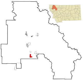
Spokane Creek is a census-designated place (CDP) in Broadwater County, Montana, United States. The population was 355 at the 2010 census.
Wheatland is a census-designated place (CDP) in Broadwater County, Montana, United States. The population was 568 according to the 2010 census.
Happys Inn is a census-designated place (CDP) in Lincoln County, Montana, United States. The population was 164 at the 2010 census.
Rocky Boy West is a census-designated place (CDP) in Hill and Chouteau counties in the U.S. state of Montana. The population was 890 at the 2010 census.