
Houston County is a county located in the U.S. state of Texas. As of the 2020 census, its population was 22,066. Its county seat is Crockett. Houston County was one of 46 entirely dry counties in the state of Texas, until voters in a November 2007 special election legalized the sale of alcohol in the county.

Texas County is a county located in the southern portion of the U.S. state of Missouri. As of the 2020 census, the population was 24,487. Its county seat is Houston. The county was organized in 1843 as Ashley County. Its name was changed in 1845 to Texas County, after the Republic of Texas. The 2010 U.S. Census indicates that the county was the center of population for the United States.
Anna is a city in the U.S. state of Texas. Located in Collin County, its population was 16,896 at the 2020 U.S. census.
Bendavis is an unincorporated community in western Texas County, Missouri, United States. It is located approximately thirteen miles west of Houston on Route 38.
Ellis Prairie is an unincorporated community in Texas County, Missouri, United States. It is located on Missouri Route AA, 7.5 miles northwest of Houston and 2.5 miles east of Mitchells Corner and Missouri Route 17.
Roby is an unincorporated community in northwestern Texas County, Missouri, United States. It is located approximately sixteen miles northwest of Houston and ten miles south of Fort Leonard Wood at the northern junction of Routes 17 and 32. Roby is home to the "Mark Twain National Forest" campgrounds.

Upton is an unincorporated community in western Texas County, Missouri, United States. The community is located on a ridge top approximately one mile east of the West Fork Roubidoux Creek. It is located about ten miles west of Houston on Missouri Route FF.
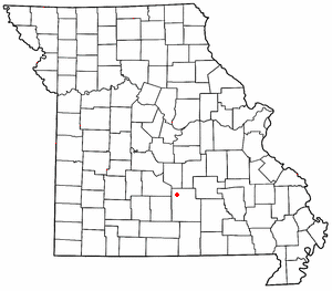
Clara is an unincorporated community in central Texas County, Missouri, United States. The community is located on a hilltop, approximately one-half mile northwest of the Big Piney River. It is about three miles southwest of Houston on Missouri Route Z.
Hunter is an unincorporated community and census-designated place in Carter County, Missouri, United States. As of the 2020 census it had a population of 95.

Lamine Township is one of 14 civil townships in Cooper County, in the U.S. state of Missouri. Twenty-two of Missouri's 114 counties, including Cooper County, have civil township governments. The other 92 counties have townships which are geographical but not governmental (civil). According to the 1860 Census, the population of Lamine Township was 830 . As of the 2020 Census, Lamine Township's population was 257.
Saint Annie was an unincorporated community in southwest Pulaski County, Missouri, United States. The community was about a mile south of Cookville, but the post office moved depending on where the postmaster lived. The last active post office was located on Webster Drive just west of the Laclede-Texas county line approximately five miles north of Lynchburg. The community of Winnipeg is about 3 1/2 miles to the northwest.
Cookville is an extinct town in southwestern Pulaski County, in the U.S. state of Missouri. The GNIS classifies it as a populated place. The town site is along Roubidoux Creek within the southern part of Fort Leonard Wood. The community of Greenview is located two miles to the west on Missouri Route 17 along the western boundary of the military reservation and adjacent to the Pulaski-Laclede county line.
Polo is an unincorporated community in Miami County, in the U.S. state of Ohio.
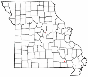
Bado is an unincorporated community in southwest Texas County, in the U.S. state of Missouri. Bado is located on Missouri Route M, along the banks of Little Piney Creek. The community is approximately nine miles west-southwest of Houston and nine miles north of Cabool. The store, post office, a rock house and White House are still standing.
Dykes is an unincorporated community in southwest Texas County, in the U.S. state of Missouri. Dykes is located on Missouri Route 38, seven miles west of Houston.
Mitchells Corner is an unincorporated community in Texas County, in the U.S. state of Missouri. The community is approximately eight miles northwest of Houston on Missouri Route 17. Success is about two miles north on Route 17.
Pleasant Ridge is an unincorporated community in Texas County, in the U.S. state of Missouri. The community is located on Pleasant Ridge Road, approximately three-quarters of a mile southwest of Upton and about ten miles west of Houston.
Plum Valley is an extinct town in west central Texas County, in the U.S. state of Missouri. The GNIS classifies it as a populated place. The community lies near the East Fork of Roubidoux Creek, approximately one mile west of Missouri Route 17 and 3.5 miles west of Bucyrus.
Roubidoux is an extinct town in the Salem Plateau region of the Ozarks located in northwest Texas County, Missouri, United States. The GNIS classifies it as a populated place. The townsite is located at the confluence of the east and west forks of Roubidoux Creek. It is approximately 12 mi (19 km) northwest of Houston.
Samoa is an unincorporated community in Texas County, in the U.S. state of Missouri.

