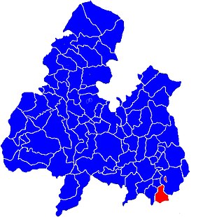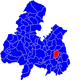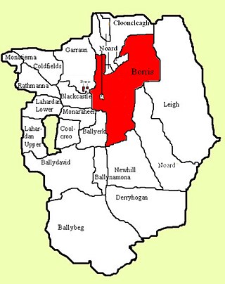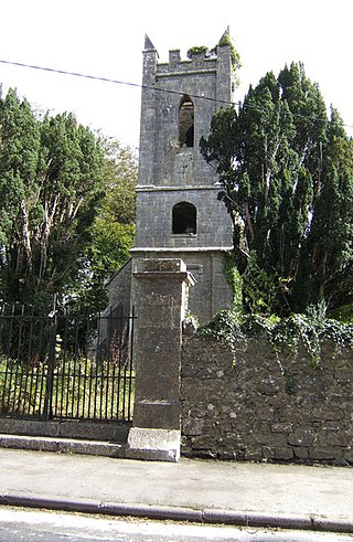
Two-Mile Borris is a village in County Tipperary, Ireland. The village is located on the L4202 road at the junction with the Ballyduff Road, close to the N75 and 4.7 mi (7.6 km) from Thurles town centre. It is also situated 1 mile from junction 5 of the M8 motorway. Its population was 572 as of the 2016 census, up from 502 in 2006. It is situated in the townland of Borris which is part of the civil parish of Twomileborris in the ancient barony of Eliogarty.
Herbertstown is a village in south-eastern County Limerick, Ireland. It is part of the ecclesiastical parish of "Hospital and Herbertstown", in the Roman Catholic Archdiocese of Cashel and Emly. Herbertstown is in the centre of the electoral division of Cahercorney stretching from Ballingoola in the north-east, Ballyloundash in the east and Kilcullane in the south.

Carrickfergus is a barony in County Antrim, Northern Ireland. It is bounded on the south-east by Belfast Lough, and otherwise surrounded by the barony of Belfast Lower. It is coextensive with the civil parish of Carrickfergus or St Nicholas and corresponds to the former county of the town of Carrickfergus, a county corporate encompassing Carrickfergus town.

Ballymoreen, also written Ballymurreen, is a civil parish in County Tipperary, Ireland. It is one of 21 civil parishes in the barony of Eliogarty.

Loughmoe East is a civil parish in County Tipperary, Ireland.(Gaelic: Na Cealla Beaga). Also called CALLABEG, or KILNASEAR, the parish, in the barony of ELIOGARTY, County TIPPERARY, is in the province of MUNSTER, about 2 miles south-east of Templemore. This parish is situated on the river Suir, which separates it from Loughmoe-West, and on the road from Templemore to Thurles, and comprises 3417 statute acres.
Ballybeg is a townland in the civil parish of Twomileborris, County Tipperary, Ireland.
Ballydavid is a townland in the civil parish of Twomileborris, County Tipperary.

Glenkeen or Glankeen is a civil parish in County Tipperary, Ireland. It is one of seven civil parishes in the barony of Kilnamanagh Upper.

Thurles Poor Law Union, was an Irish Poor law union officially declared on 28 March 1839. It covered an area of 195 square miles (510 km2), mostly in North Tipperary but also including some of South Tipperary. Although the boundaries of some poor law unions changed during the course of the 19th century, the Thurles union seems to have retained its original boundaries.

Littleton is an electoral division in County Tipperary in Ireland. The code number assigned it by the Central Statistics Office is 22071.

Originally called Burris poor law electoral division, and sometimes called Borrisleigh in the past, this electoral division in County Tipperary in Ireland is now known as Twomileborris.

Borris is a townland comprising a little over 1,327 acres in the civil parish of Twomileborris in County Tipperary, Ireland. At the time of the 1891 census, it had a population of 212; in 1891 this had fallen to 175 but had risen again to 190 at the time of the 1911 census.

Shyane is a civil parish in County Tipperary, Ireland. It is one of 21 civil parishes in the historical barony of Eliogarty. It is divided into three townlands: Clobanna, Rossestown and Coolgarrane.

Athnid, some times written Adnith, or Athnett, is a civil parish in the barony of Eliogarty in County Tipperary. It is divided into two townlands: Athnid More ) and Athnid Beg.

Templetouhy, often written Templetuohy, is a civil parish that lies mainly in the barony of Ikerrin, County Tipperary although a single townland lies in the barony of Eliogarty. It is part of the Thurles poor law union. Writing in 1837, Lewis said that the parish of Templetuohy had 2,653 inhabitants.

Clareabbey is a civil parish in County Clare, Ireland, named after the former Augustinian monastery of Clare Abbey. The main settlement in the town of Clarecastle.

Kilmurry-Negaul is a civil parish and a village in County Clare, Ireland.

Killone is a civil parish of County Clare, Ireland, to the southwest of Ennis. It is known for the ruins of Killone Abbey.
Ballysheehan is a village in the southern part of County Tipperary, Ireland. It is also a civil parish in the barony of Middle Third, within the Munster province.


