Ulster Township | |
|---|---|
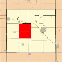 Location in Floyd County | |
| Coordinates: 43°03′50″N92°50′54″W / 43.06389°N 92.84833°W | |
| Country | |
| State | |
| County | Floyd |
| Area | |
• Total | 41.51 sq mi (107.51 km2) |
| • Land | 41.51 sq mi (107.51 km2) |
| • Water | 0 sq mi (0 km2) 0% |
| Elevation | 1,040 ft (317 m) |
| Population (2000) | |
• Total | 373 |
| • Density | 9.1/sq mi (3.5/km2) |
| Time zone | UTC-6 (CST) |
| • Summer (DST) | UTC-5 (CDT) |
| ZIP codes | 50435, 50468, 50471, 50616 |
| GNIS feature ID | 0468804 |
Ulster Township is one of twelve townships in Floyd County, Iowa, USA. As of the 2000 census, its population was 373. [1]
