Union Township, Delaware County, Indiana

Last updated

Union Township
Mount Zion Methodist near Eaton.jpg
Mount Zion Methodist Church, a historic site in the township
Map highlighting Union Township, Delaware County, Indiana.svg
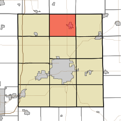
Location of Union Township in Delaware County
Coordinates: 40°20′53″N85°23′03″W / 40.34806°N 85.38417°W / 40.34806; -85.38417
Country United States
State Indiana
County Delaware
Government
  Type Indiana township
Area
  Total
29.65 sq mi (76.8 km2)
  Land29.34 sq mi (76.0 km2)
  Water0.3 sq mi (0.78 km2)
Elevation
[1]
899 ft (274 m)
Population
 (2020) [2]
  Total
2,540
  Density96.7/sq mi (37.3/km2)
FIPS code 18-77246 [3]
GNIS feature ID 453913

Union Township is one of twelve townships in Delaware County, Indiana. According to the 2010 census, its population was 2,838 and it contained 1,260 housing units. [4]

Contents

History

Felt's Farm and the Mount Zion Methodist Episcopal Church are listed on the National Register of Historic Places. [5]

Geography

According to the 2010 census, the township has a total area of 29.65 square miles (76.8 km2), of which 29.34 square miles (76.0 km2) (or 98.95%) is land and 0.3 square miles (0.78 km2) (or 1.01%) is water. [4]

Cities and towns

Unincorporated towns

(This list is based on USGS data and may include former settlements.)

Adjacent townships

Major highways

Cemeteries

The township contains three cemeteries: Leaird, Mount Zion Church and Union.

Education

It is in the Delaware Community School Corporation. [6]

References

  1. "US Board on Geographic Names". United States Geological Survey. October 25, 2007. Retrieved January 31, 2008.
  2. "Census Bureau profile: Union Township, Delaware County, Indiana". United States Census Bureau. May 2023. Retrieved March 18, 2024.
  3. "U.S. Census website". United States Census Bureau . Retrieved January 31, 2008.
  4. 1 2 "Population, Housing Units, Area, and Density: 2010 - State -- County Subdivision -- 2010 Census Summary File 1". United States Census. Archived from the original on February 12, 2020. Retrieved May 10, 2013.
  5. "National Register Information System". National Register of Historic Places . National Park Service. July 9, 2010.
  6. Geography Division (January 12, 2021). 2020 CENSUS - SCHOOL DISTRICT REFERENCE MAP: Delaware County, IN (PDF) (Map). U.S. Census Bureau . Retrieved June 3, 2025. - Text list