Unstruttal

Last updated
Unstruttal
Ammern3.JPG
Saint Vitus Church in Ammern
Wappen von Unstruttal.png
Location of Unstruttal within Unstrut-Hainich-Kreis district
Unstruttal in UH.pngBlankenburgKörnerVogtei
Germany adm location map.svg
Red pog.svg
Unstruttal
Thuringia location map.svg
Red pog.svg
Unstruttal
Coordinates: 51°14′N10°27′E / 51.233°N 10.450°E / 51.233; 10.450 Coordinates: 51°14′N10°27′E / 51.233°N 10.450°E / 51.233; 10.450
Country Germany
State Thuringia
District Unstrut-Hainich-Kreis
Government
   Mayor (201925) Michael Hartung [1] (Ind.)
Area
  Total44.42 km2 (17.15 sq mi)
Elevation
229 m (751 ft)
Population
 (2020-12-31) [2]
  Total3,065
  Density69/km2 (180/sq mi)
Time zone UTC+01:00 (CET)
  Summer (DST) UTC+02:00 (CEST)
Postal codes
99974
Dialling codes 03601
Vehicle registration UH
Website www.gemeinde-unstruttal.de

Unstruttal is a municipality in the Unstrut-Hainich-Kreis district of Thuringia, Germany.

Related Research Articles

<span class="mw-page-title-main">Sickerode</span> Municipality in Thuringia, Germany

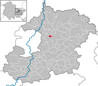
Sickerode is a municipality in the district of Eichsfeld in Thuringia, Germany.

<span class="mw-page-title-main">Arenshausen</span> Municipality in Thuringia, Germany

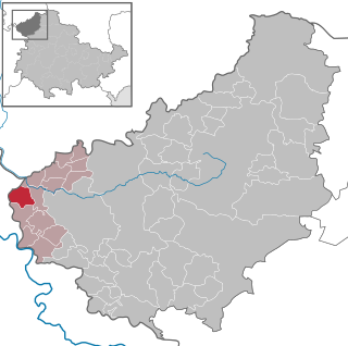
Arenshausen is a village in the Eichsfeld district of Thuringia, Germany.

<span class="mw-page-title-main">Hohengandern</span> Municipality in Thuringia, Germany

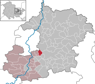
Hohengandern is a municipality in the district of Eichsfeld in Thuringia, Germany. It is part of the Verwaltungsgemeinschaft Hanstein-Rusteberg.

<span class="mw-page-title-main">Eichstruth</span> Municipality in Thuringia, Germany

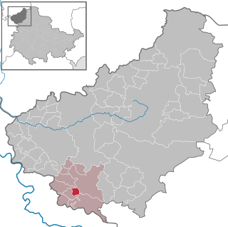
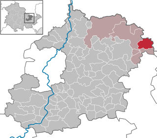
Eichstruth is a municipality in the district of Eichsfeld in Thuringia, Germany. By area, it is the smallest municipality in what was East Germany, although there are 35 rural municipalities ("Gemeinden") and one city ("Stadt"), Arnis, in what was West Germany that have lesser or equal area.

<span class="mw-page-title-main">Ronneburg, Thuringia</span> Town in Greiz district, Thuringia, Germany

Ronneburg is a town in the district of Greiz, in Thuringia, Germany. It is situated 7 km east of Gera.

<span class="mw-page-title-main">Schkölen</span> Town in Thuringia, Germany

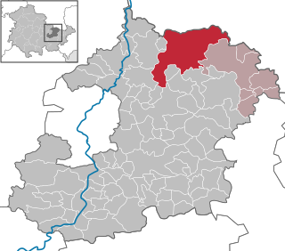
Schkölen is a town in the Saale-Holzland district, in Thuringia, Germany. It is situated 12 km south of Naumburg. The village Zschorgula is part of the municipality.

<span class="mw-page-title-main">Bibra, Saale-Holzland</span> Municipality in Thuringia, Germany

Bibra is a municipality in the district Saale-Holzland, in Thuringia, Germany.

<span class="mw-page-title-main">Ottendorf, Thuringia</span> Municipality in Thuringia, Germany

Ottendorf is a municipality in the district Saale-Holzland, in Thuringia, Germany.

<span class="mw-page-title-main">Wilhelmsdorf, Thuringia</span> Municipality in Thuringia, Germany

Wilhelmsdorf is a municipality in the district Saale-Orla-Kreis, in Thuringia, Germany.

<span class="mw-page-title-main">Crossen an der Elster</span> Municipality in Thuringia, Germany

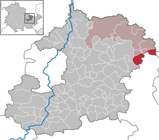
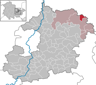
Crossen an der Elster is a municipality in the district Saale-Holzland, in Thuringia, Germany.

<span class="mw-page-title-main">Laasdorf</span> Municipality in Thuringia, Germany

Laasdorf is a municipality in the district Saale-Holzland, in Thuringia, Germany.

<span class="mw-page-title-main">Löberschütz</span> Municipality in Thuringia, Germany

Löberschütz is a municipality in the district Saale-Holzland, in Thuringia, Germany.

<span class="mw-page-title-main">Nausnitz</span> Municipality in Thuringia, Germany

Nausnitz is a municipality in the district Saale-Holzland, in Thuringia, Germany.

<span class="mw-page-title-main">Rothenstein, Germany</span> Municipality in Thuringia, Germany

Rothenstein is a municipality in the district Saale-Holzland, in Thuringia, Germany.

<span class="mw-page-title-main">Serba</span> Municipality in Thuringia, Germany

Serba is a municipality in the district Saale-Holzland, in Thuringia, Germany.

<span class="mw-page-title-main">Silbitz</span> Municipality in Thuringia, Germany

Silbitz is a municipality in the district Saale-Holzland, in Thuringia, Germany.

<span class="mw-page-title-main">Tautenburg</span> Municipality in Thuringia, Germany

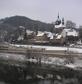
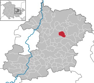
Tautenburg is a municipality in the district Saale-Holzland, in Thuringia, Germany. It is home to the Karl Schwarzschild Observatory.

<span class="mw-page-title-main">Walpernhain</span> Municipality in Thuringia, Germany

Walpernhain is a municipality in the district Saale-Holzland, in Thuringia, Germany.

<span class="mw-page-title-main">Kospoda</span> Municipality in Thuringia, Germany

Kospoda is a municipality in the district Saale-Orla-Kreis, in Thuringia, Germany.

<span class="mw-page-title-main">Krölpa</span> Municipality in Thuringia, Germany

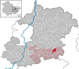
Krölpa is a municipality in the district Saale-Orla-Kreis, in Thuringia, Germany.

References

  1. Gewählte Bürgermeister - aktuelle Landesübersicht, Freistaat Thüringen, accessed 14 July 2021.
  2. "Bevölkerung der Gemeinden, erfüllenden Gemeinden und Verwaltungsgemeinschaften in Thüringen Gebietsstand: 31.12.2020". Thüringer Landesamt für Statistik (in German). June 2021.