Seaforth is a suburb of Northern Sydney, in the state of New South Wales, Australia. Seaforth is located 12 kilometres north-east of the Sydney central business district in the local government area of Northern Beaches Council and is part of the Northern Beaches region.

Ballina is a town in the Northern Rivers region of New South Wales, Australia, and the seat of the Ballina Shire local government area. It lies 740 km (460 mi) north of Sydney and 185 km (115 mi) south of Brisbane. Ballina's urban population at the end of 2021 was 46,190.
Marayong is a suburb of Sydney, in the state of New South Wales, Australia. Marayong is located approximately 32 kilometres north west of the Sydney central business district, in the local government area of the City of Blacktown and is part of the Greater Western Sydney region.

Woodbine is a suburb of Sydney, in the state of New South Wales, Australia. It is 55 kilometres south-west of the Sydney central business district, in the local government area of the City of Campbelltown and is part of the Macarthur region. Woodbine shares the postcode of 2560 with Campbelltown.

Northwood is a suburb on the Lower North Shore of Sydney, in the state of New South Wales, Australia, eight kilometres north-west of the Sydney central business district, in the local government area of the Municipality of Lane Cove. Northwood is on the northern side of the Lane Cove River between Woodford Bay and Gore Creek.

Mulgrave is a suburb in the north west of Sydney in New South Wales, Australia. It is a predominantly industrial and commercial area.
Fadden is a suburb in the Canberra, Australia district of Tuggeranong. The postcode is 2904. The suburb is named after Sir Arthur Fadden, Prime Minister of Australia briefly in 1941. It was gazetted on 5 August 1975. Its streets are named after Queensland politicians. It is surrounded by Macarthur, Gowrie and Wanniassa. It is bounded by Erindale Drive, the Wanniassa Hills Nature Reserve, Fadden Pine Plantation and Sternberg Crescent.
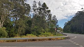
Tintenbar is a village located on the Far North Coast of New South Wales, Australia.

Ballina Shire is a local government area in the Northern Rivers region of New South Wales, Australia. The Shire was formed on 1 January 1977 by the amalgamation of the Municipality of Ballina and Tintenbar Shire. The Shire is located adjacent to the Tasman Sea and the Pacific Highway. The council seat is located in the town of Ballina. The population of the Ballina Shire area was 46,850 in 2022.
Thornton is a suburb in the City of Maitland, New South Wales, Australia. It is bisected by the New England Highway.
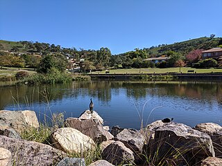
Strathalbyn is a northeastern suburb of Geraldton, Western Australia. Its local government area is the City of Greater Geraldton.
Drummond Cove is a coastal town located 12 kilometres (7 mi) north of Geraldton, Western Australia in the local government area of the City of Greater Geraldton. The locality was gazetted in 1985.
Karloo is a locality southeast of Geraldton, Western Australia. Its local government area is the City of Greater Geraldton.
Teven is a village located on the Far North Coast of New South Wales.
Prince Henry Heights is a residential locality on the outskirts of Toowoomba in the Toowoomba Region, Queensland, Australia. In the 2021 census, Prince Henry Heights had a population of 600 people.
Wooyung is a small town located in the Northern Rivers Region of New South Wales. The most recent census indicated a population of 139, with a median age of 49. Wooyung means 'slow' in the local Bundjalung language, and is believed to reflect the natural tranquility of the area.
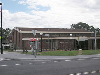
West Ballina is a suburb of Ballina located in the Northern Rivers Region of New South Wales.

South Ballina is a locality located in the Northern Rivers Region of New South Wales - bounded by the Richmond River to the north, the Tasman Sea to the east, and Keith Hall to the south and west. Across the river to the north, is the town of Ballina and it is a popular spot for recreational fishing. It is on the lands of the Bundjalung Nation and it falls within the Jali Aboriginal Land Council.
Killabakh is a small village located on the Mid North Coast of New South Wales, and 339 kilometres (211 mi) north east of the state capital, Sydney.
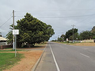
Empire Vale is a locality in the Ballina Shire of New South Wales, Australia.