
Kharkov Governorate was an administrative-territorial unit (guberniya) of the Russian Empire founded in 1835. It embraced the historical region of Sloboda Ukraine. From 1765 to 1780 and from 1796 to 1835 the governorate was called Sloboda Ukraine Governorate. In 1780–1796 there existed the Kharkov Vicegerency.
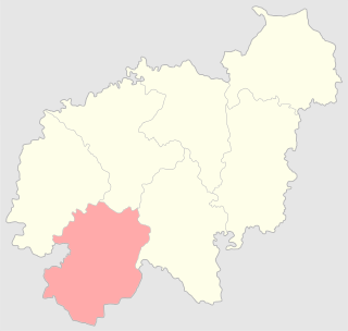
The Lida uezd was one of the subdivisions of the Vilna Governorate of the Russian Empire. It was situated in the southwestern part of the governorate. Its administrative centre was Lida.
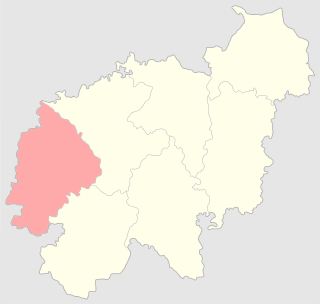
The Troki uezd was a county (uezd) of the Vilna Governorate of the Russian Empire. The uezd was bordered by the Mariampol, Kalvariya, and the Seyny uezds of the Suwałki Governorate to the west, the Lida uezd to the south, the Vilna uezd to the east, and the Kovno uezd of the Kovno Governorate to the north. The administrative centre of the county was the city of Troki. The area included most of the modern Trakai, Elektrėnai districts of Vilnius County, and Varėna, Šalčininkai districts of Alytus County, as well as part of Kaišiadorys, Alytus, and Prienai districts.

The Kamenets-Podolsky uezd was a county (uezd) of the Podolian Governorate of the Russian Empire. The uezd bordered the Proskurov uezd to the north, the Ushitsa uezd to the east, the Khotin uezd to the south, and Austria to the west. Its administrative centre of the county was Kamenets-Podolsky. The county covered most of the area of Kamianets-Podilskyi Raion.
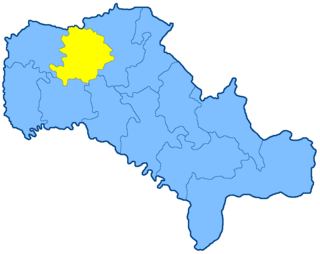
The Letichev uezd was a county (uezd) of the Podolian Governorate of the Russian Empire. The uezd bordered the Starokonstantinov uezd of the Volhynian Governorate, the Litin uezd to the east, the Mogilev uezd to the southeast, the Ushitsa uezd to the south, and the Proskurov uezd to the west. The area of the uezd encompassed most of Khmelnytskyi Raion of Ukraine. The administrative centre of the county was Letichev.
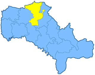
The Litin uezd was a county (uezd) of the Podolian Governorate of the Russian Empire. The uezd bordered the Novograd-Volynsky and Zhitomir uezds of the Volhynian Governorate to the north, the Vinnitsa uezd to the east, the Mogilev uezd to the south, and the Ushitsa uezd to the west. It composed most of Vinnytsia Raion. The administrative centre of the county was Litin.

The Mogilev uezd was a county (uezd) of the Podolia Governorate of the Russian Empire. It bordered the Letichev and Litin uezds to the north, the Yampol uezd to the east, the Soroka uezd to the south, and the Ushitsa uezd to the west. The administrative centre of the county was Mogilev-Podolsky. The uezd included most of Mohyliv-Podilskyi and Zhmerynka Raions of Ukraine.

The Ananyevsky uezd, located in modern-day Ukraine, was one of the subdivisions of the Kherson Governorate of the Russian Empire. It was situated in the southwestern part of the governorate. Its administrative centre was Ananiv (Ananyev).
Akkermansky County was an uezd, one of the subdivisions of the Bessarabia Governorate of the Russian Empire. It was situated in the southeastern part of the governorate. Its administrative centre was Bilhorod-Dnistrovskyi (Akkerman).
Beletsky County was an uezd, one of the subdivisions of the Bessarabia Governorate of the Russian Empire. It was situated in the northwestern part of the governorate. Its administrative centre was Bălți (Beltsy).
Izmailsky County was an uezd, one of the subdivisions of the Bessarabia Governorate of the Russian Empire. It was situated in the southern part of the governorate. Its administrative centre was Izmail.
Kishinyovsky County was an uezd, one of the subdivisions of the Bessarabia Governorate of the Russian Empire. It was situated in the central part of the governorate. Its administrative centre was Kishinev (Chișinău).
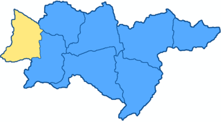
The Verkhnedneprovsk uezd was one of the subdivisions of the Yekaterinoslav Governorate of the Russian Empire. It was situated in the western part of the governorate. Its administrative centre was Verkhnodniprovsk (Verkhnedneprovsk).

The Pavlograd uezd was one of the subdivisions of the Yekaterinoslav Governorate of the Russian Empire. It was situated in the northern part of the governorate. Its administrative centre was Pavlograd (Pavlohrad).
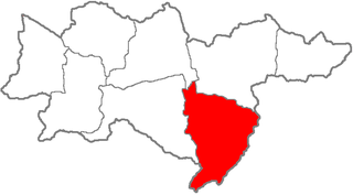
The Mariupol uezd was one of the subdivisions of the Yekaterinoslav Governorate of the Russian Empire. It was situated in the southeastern part of the governorate. Its administrative centre was Mariupol.
Mglinsky Uyezd or Mhlyn Povit was one of the subdivisions of the Chernigov Governorate of the Russian Empire. It was situated in the northeastern part of the governorate. Its administrative centre was Mglin.
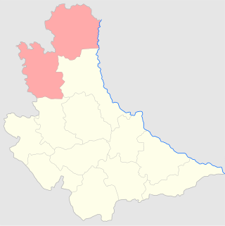
The Radomysl uezd was one of the subdivisions of the Kiev Governorate of the Russian Empire. It was situated in the northern part of the governorate. Its administrative centre was Radomyshl. It included the city of Chernobyl which later became the seat of its own Raion after the uyezd was liquidated in 1923, but before that was the seat of Chernobyl uezd which existed from 1919 to 1923.
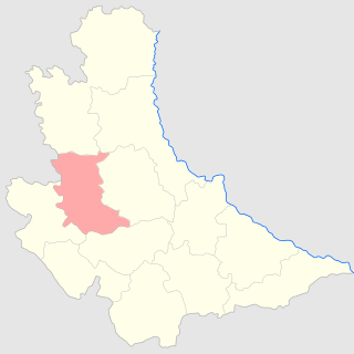
The Skvira uezd was one of the subdivisions of the Kiev Governorate of the Russian Empire. It was situated in the western part of the governorate. Its administrative centre was Skvira (Skvyra).
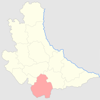
The Uman uezd was a subdivision (uezd) of the Kiev Governorate, Russian Empire. It was situated in the southern part of the governorate. Its administrative centre was Uman.
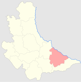
The Cherkassy uezd was one of the subdivisions of the Kiev Governorate of the Russian Empire. It was situated in the southeastern part of the governorate. Its administrative centre was Cherkassy (Cherkasy).


