Utah State Route 108

Last updated • 1 min readFrom Wikipedia, The Free Encyclopedia

Utah 108.svg

State Route 108

Utah State Route 108
Route information
Maintained by UDOT
Length12.920 mi [1]  (20.793 km)
Existed1931–present
Major junctions
South endI-15.svg I-15 in Layton
Major intersectionsUtah 127.svg SR-127 in Syracuse
Utah 37.svg SR-37 in Clinton

Utah 97.svg SR-97 in Roy

Utah 37.svg SR-37 in Roy
North endUtah 126.svg SR-126 in Roy
Location
Country United States
State Utah
Highway system
  • Utah State Highway System
Utah 107.svg SR-107 Utah 109.svg SR-109

State Route 108 (SR-108) is a state highway in the U.S. state of Utah that spans 12.920 miles (20.793 km) in Davis and Weber Counties. The road connects I-15 and Layton to Syracuse and Clinton before terminating at SR-126 in Roy. The entire route is within the Ogden-Clearfield metropolitan area.

Contents

Route description

SR 108 approaching its junction with SR 127 in Syracuse, October 2018 Jct 127 (44303575615).jpg
SR 108 approaching its junction with SR 127 in Syracuse, October 2018

The route starts out in the city of Layton in Davis County, just east of I-15, initially going west along Antelope Drive, named for Antelope Island, which is accessed via this road. After traveling west for four miles (6 km), the route turns north onto 2000 West, while SR-127 continues west to the island. During its northern stretch, the route passes through the cities of Syracuse and Clinton, before entering Weber County and the city of Roy. In Roy, the route continues north until just after 4800 South, turning to the northeast along Midland Drive. It generally continues in this direction until the northern terminus at SR-126. [2]

History

The state legislature created SR-108 in 1931, running west from SR-1 (now SR-126) to Syracuse. [3] A 1941 law extended it east from SR-1 to SR-232 in Layton and north from Syracuse to SR-37. [4] As part of a 1969 truncation of SR-37, SR-108 was extended northeast over part of that route to SR-84 (now SR-126). The final change was made in 1996, when the piece between SR-232 and I-15 was given to the city of Layton for widening. [5]

Major intersections

CountyLocationmi [1] kmDestinationsNotes
Davis Layton 0.0000.000University Park BoulevardSouthern terminus
0.071–
0.273
0.114–
0.439
I-15.svg I-15  Salt Lake City, Ogden I-15 exit 332
0.6941.117Utah 126.svg SR-126 (Main Street)
Syracuse 4.0076.449Utah 127.svg SR-127 (1700 South)
6.0019.658300 NorthFormer SR-107
Clinton 7.50812.083Utah 37.svg SR-37 (1800 North)
Weber Roy 9.00914.499Utah 97.svg SR-97 (5600 South)
11.33918.248Utah 37.svg SR-37 (4000 South)Northern Terminus of SR-37
12.92020.793Utah 126.svg SR-126 (1900 West)Northern terminus
1.000 mi = 1.609 km; 1.000 km = 0.621 mi

See also

Related Research Articles

<span class="mw-page-title-main">Utah State Route 111</span> State highway in Utah, United States

State Route 111 (SR-111) is a state highway in the U.S state of Utah that runs north–south across the west side of the Salt Lake Valley in Salt Lake County. It connects SR-201 in Magna to SR-209 in West Jordan in a span of 10.6 miles (17.06 km). It is known as 8400 West and Bacchus Highway throughout the route's course, in respect of north to south.

<span class="mw-page-title-main">Utah State Route 13</span> State highway in Utah, United States

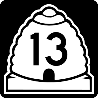
State Route 13 (SR-13) is a state highway in northern Utah, running 32.841 miles (52.852 km) parallel to I-15 in Box Elder County from Brigham City to Riverside. Most of SR-13 is a former routing of U.S. Route 191.

<span class="mw-page-title-main">Utah State Route 126</span> State highway in Utah, United States

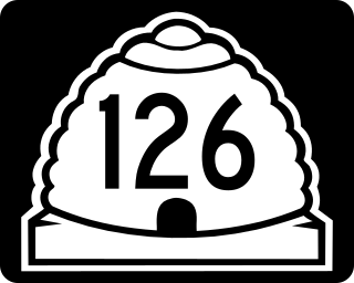
State Route 126 (SR-126) is a highway completely within the Ogden-Clearfield metropolitan area in northern Utah that makes a loop around Interstate 15 in its more than twenty-one mile path. The street is given the names Main Street, 1900 West and 2000 West respectively from south to north. Previous to 1977, SR-126 was a road in southern Utah. A portion of the highway is an old routing of US-91.

<span class="mw-page-title-main">Utah State Route 56</span> State highway in Utah, United States

State Route 56 (SR-56) is a 61.502-mile-long (98.978 km) state highway completely within Iron County in southwestern Utah. SR-56 runs from the Utah/Nevada border to SR-130 in Cedar City.

<span class="mw-page-title-main">Utah State Route 39</span> State highway in Utah, United States

State Route 39 (SR-39) is a state highway in northern Utah connecting Ogden to Woodruff via Ogden Canyon and Huntsville. The highway is on 12th Street in Ogden and the Ogden River Scenic Byway through Ogden Canyon. The route is over sixty-seven miles long.

<span class="mw-page-title-main">Utah State Route 193</span> State highway in Utah, United States

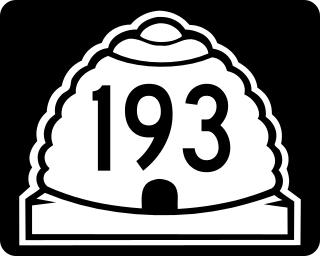
State Route 193 is an east and west highway located completely in Davis County, Utah, United States that begins at the West Davis Corridor, runs past the south entrance of Hill Air Force Base and ends at US-89.

<span class="mw-page-title-main">Utah State Route 232</span> Highway in Layton, Utah

State Route 232 is primarily a north and south highway located completely in Layton, Davis County, Utah that begins at SR-126 and runs to the south entrance of Hill Air Force Base.

<span class="mw-page-title-main">Utah State Route 37</span> State highway in Utah, United States

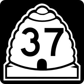
State Route 37 (SR-37) is a state highway in the U.S. state of Utah, forming a 270° loop through the western part of the Ogden-Clearfield metropolitan area. The route is 12.35 miles (19.88 km).

<span class="mw-page-title-main">Utah State Route 127</span> State highway in Utah, United States

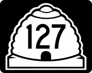
State Route 127 is a state highway in the state of Utah that spans 2.507 miles (4.035 km) within Syracuse in Davis County.

<span class="mw-page-title-main">Utah State Route 110</span> State highway in Utah, United States

State Route 110 (SR-110) is a state highway in the U.S. state of Utah, connecting SR-127 in Syracuse with SR-37 in West Point. The highway is routed entirely on 4500 West.

<span class="mw-page-title-main">Utah State Route 107</span> State highway in Utah, United States

State Route 107 (SR-107) is a state highway in the U.S. state of Utah that spans 1.502 miles (2.417 km) in West Point, connecting SR-110 and 3000 West. The highway is routed entirely on 300 North.

<span class="mw-page-title-main">Utah State Route 103</span> State highway in Clearfield, Utah, United States

State Route 103 (SR-103) is a 0.225-mile-long (362 m) urban minor arterial state highway in the U.S. state of Utah. It branches off from SR-126 in downtown Clearfield and extends east to Interstate 15 (I-15), with the roadway continuing to the Falcon Hill National Aerospace Research Park, just outside Hill Air Force Base. The entire route is located in Davis County and was formed in 1965 coinciding with the construction of I-15.

<span class="mw-page-title-main">Utah State Route 82</span> State highway in Utah, United States

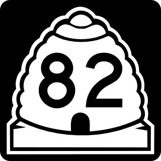
State Route 82 (SR-82) is a state highway in the U.S. state of Utah. It is a short connector road, only 3.178 miles (5.114 km) long, that connects the towns of Tremonton and Garland in Box Elder County.

<span class="mw-page-title-main">Utah State Route 97</span> Highway in Weber County, Utah

Utah State Route 97 is a state highway in the U.S. state of Utah. It is a 5.347-mile (8.605 km) road in Weber County, starting as a minor arterial in the west and increasing to a major collector road in the east that runs from Hooper through Roy to the northwest gate of Hill Air Force Base.

<span class="mw-page-title-main">Utah State Route 125</span> State highway in Utah, United States

Utah State Route 125 (SR-125) is a state highway in the U.S. state of Utah. Spanning 21.8 miles (35.1 km), it converts the town of Oak City in Millard County with the city of Delta and US-50 to the west, and the town of Leamington to the north.

<span class="mw-page-title-main">Utah State Route 147</span> State highway in Utah, United States

State route 147 (SR-147) is a state highway in the U.S. state of Utah. Spanning 18.175 miles (29.250 km), it connects West Mountain and Benjamin in western Utah Valley with Interstate 15 (I-15), Spanish Fork, and Mapleton on the east side of the valley.

<span class="mw-page-title-main">Utah State Route 204</span> State highway in Utah, United States

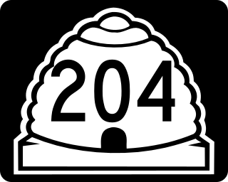
State Route 204 (SR-204), also known as Wall Avenue, is a state highway in the U.S. state of Utah. Spanning 5.4 miles (8.7 km), it serves as a north/south arterial road through the city of Ogden, from SR-26 to US-89 just north of Ogden in Harrisville.

<span class="mw-page-title-main">West Davis Corridor</span> Freeway in Davis County, Utah, United States

The West Davis Corridor is a 16-mile-long (26 km) freeway completely within Davis County in northern Utah. The corridor splits off from Interstate 15 (I-15) and U.S. Route 89 (US-89) along with the Legacy Parkway (SR-67) in Farmington and goes through the western confines of the Ogden–Clearfield metropolitan area before ending at an T-intersection with SR-193 in West Point.

The Davis–Weber Canal is a canal in southern Weber and northern Davis counties in northern Utah, United States, that flows around the north and west sides of Hill Air Force Base, supplying water from the Weber River to the area.

References

  1. 1 2 "State Route 108 Highway reference". Utah Department of Transportation . Retrieved 2008-07-07.
  2. "Google Maps". Google.
  3. Utah State Legislature (1931). "Chapter 55: Designation of State Roads". Session Laws of Utah. (108) From route 1 south of Clearfield westerly to Syracuse.
  4. Utah State Legislature (1941). "Chapter 34". Session Laws of Utah. Route 108. From route 193 in Laytona west to Syracuse, thence north into Weber County, thence northeasterly to route 37.
  5. Utah Department of Transportation, Highway Resolutions: "Route 108". (4.22 MB), updated November 2007, accessed May 2008
Template:Attached KML/Utah State Route 108
KML is not from Wikidata

Commons-logo.svg Media related to Utah State Route 108 at Wikimedia Commons