Vilhonneur | |
---|---|
Part of Moulins-sur-Tardoire | |
Coordinates: 45°40′56″N0°25′15″E / 45.6822°N 0.4208°E Coordinates: 45°40′56″N0°25′15″E / 45.6822°N 0.4208°E | |
Country | France |
Region | Nouvelle-Aquitaine |
Department | Charente |
Arrondissement | Angoulême |
Canton | Val de Tardoire |
Commune | Moulins-sur-Tardoire |
Area 1 | 9.36 km2 (3.61 sq mi) |
Population (2016-01-01) [1] | 408 |
• Density | 44/km2 (110/sq mi) |
Time zone | UTC+01:00 (CET) |
• Summer (DST) | UTC+02:00 (CEST) |
Postal code | 16220 |
Elevation | 87–137 m (285–449 ft) (avg. 90 m or 300 ft) |
1 French Land Register data, which excludes lakes, ponds, glaciers > 1 km2 (0.386 sq mi or 247 acres) and river estuaries. |
Vilhonneur is a former commune in the Charente department in southwestern France. On 1 January 2019, it was merged into the new commune Moulins-sur-Tardoire. [2]
Vilhonneur was located on the Angoulême-Limoges Roman road, which was also known as the "English Road" (chemin des Anglais).
The Rochebertier tower is mentioned in a confession to Philip the Bold in 1276. A medieval castle, of which exist only traces of the foundations, is located on a hillock. The present castle was built by the Chambes (aka Jambes) family in the late sixteenth century.
Historical population | ||
---|---|---|
Year | Pop. | ±% |
1793 | 340 | — |
1800 | 365 | +7.4% |
1806 | 383 | +4.9% |
1821 | 436 | +13.8% |
1831 | 407 | −6.7% |
1841 | 382 | −6.1% |
1846 | 426 | +11.5% |
1851 | 431 | +1.2% |
1856 | 443 | +2.8% |
1861 | 430 | −2.9% |
1866 | 461 | +7.2% |
1872 | 432 | −6.3% |
1876 | 438 | +1.4% |
1881 | 450 | +2.7% |
1886 | 496 | +10.2% |
1891 | 488 | −1.6% |
1896 | 495 | +1.4% |
1901 | 420 | −15.2% |
1906 | 422 | +0.5% |
1911 | 434 | +2.8% |
1921 | 363 | −16.4% |
1926 | 364 | +0.3% |
1931 | 346 | −4.9% |
1936 | 339 | −2.0% |
1946 | 312 | −8.0% |
1954 | 293 | −6.1% |
1962 | 294 | +0.3% |
1968 | 286 | −2.7% |
1975 | 286 | +0.0% |
1982 | 319 | +11.5% |
1990 | 318 | −0.3% |
1999 | 276 | −13.2% |
2008 | 335 | +21.4% |
The town has two prehistoric caves of an exceptional nature.
The Placard cave, at Rochebertier, was discovered in 1853 and has been dated to the Magdalenian and Solutrean periods. New paintings were discovered in 1990, identical to those in the Pech Merle cave at Lot.
The "Face" cave (grotte du Visage) was discovered in November 2005 during a caving expedition. It contains engravings as well as human and animal bones dating from the Upper Paleolithic period (around 25 000 years BCE).
At the site of the old Roman ford there is still the 50 cm-wide stone bridge, which was characteristic of the Tardoire and Bandiat valleys.
The Bandiat is a small river that is 91 km long, a left tributary of the Tardoire. It flows through the Haute-Vienne, Dordogne and Charente departments in France.
Archiac is a French commune in the Charente-Maritime department in the Nouvelle-Aquitaine region of southwestern France.
Andilly is a French commune in the Charente-Maritime department in the Nouvelle-Aquitaine region of southwestern France.
Agris is a French commune in the Charente department in the Nouvelle-Aquitaine region of southwestern France.
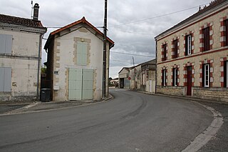
Alloue is a commune in the Charente department in the Nouvelle-Aquitaine region of southwestern France.
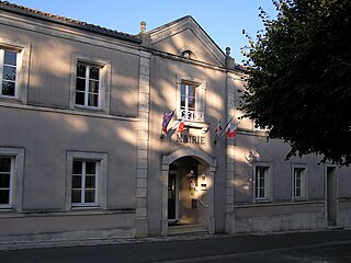
Ambérac is a commune in the Charente département, region in the Nouvelle-Aquitaine region of southwestern France.
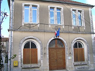
Ambernac is a commune in the Charente department in the Nouvelle-Aquitaine region of south-western France.
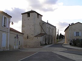
Anais is a commune in the Charente department in the Nouvelle-Aquitaine region of southwestern France.
Balzac is a French commune in the Charente department in the Nouvelle-Aquitaine region of south-western France.
Châteauneuf-sur-Charente is a commune in the Charente department in southwestern France.
Montbron is a commune in the Charente department in southwestern France on the Tardoire river.
Rancogne is a former commune in the Charente department in southwestern France. On 1 January 2019, it was merged into the new commune Moulins-sur-Tardoire.
Sers is a commune in the Charente department in the Nouvelle-Aquitaine region in southwestern France.
Authon-Ébéon is a commune in the Charente-Maritime department in the Nouvelle-Aquitaine region of south-western France.
Bran is a small commune in southwestern France situated in the department of Charente-Maritime.
Saint-Savinien is a commune in the Charente-Maritime department in the Nouvelle-Aquitaine region in southwestern France.
Maisonnais-sur-Tardoire is a commune in the Haute-Vienne department in the Nouvelle-Aquitaine region in west-central France.
Tournon-Saint-Martin is a commune in the Indre department in central France.
Dissay is a commune in the Vienne department in the Nouvelle-Aquitaine region in western France.
Moulins-sur-Tardoire is a commune in the department of Charente, southwestern France. It was established on 1 January 2019 by merger of the former communes of Vilhonneur and Rancogne.
Wikimedia Commons has media related to Vilhonneur . |
This Charente geographical article is a stub. You can help Wikipedia by expanding it. |