References
- ↑ U.S. Geological Survey Geographic Names Information System: Webb City, Arkansas
- ↑ History of Benton, Washington, Carroll, Madison, Crawford, Franklin, and Sebastian Counties, Arkansas. Higginson Book Company. 1889. p. 659.
- ↑ "Post Offices". Jim Forte Postal History. Retrieved February 8, 2018.
Municipalities and communities of Franklin County, Arkansas, United States | ||
|---|---|---|
| Cities | 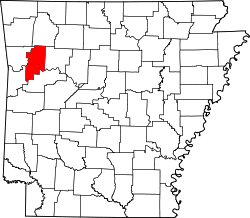 | |
| Town | ||
| CDP | ||
| Other unincorporated communities | ||
| Ghost towns | ||
35°28′05″N93°49′55″W / 35.46814°N 93.83186°W
| | This article about a location in Franklin County, Arkansas is a stub. You can help Wikipedia by expanding it. |