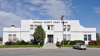
Lincoln County is a county in the U.S. state of Nevada. As of the 2020 census, the population was 4,499, making it the fourth-least populous county in Nevada. Its county seat is Pioche. Like many counties in Nevada, it is dry and sparsely populated, though notable for containing the Area 51 government Air Force base.

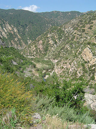
Agoura Hills is a city in the Santa Monica Mountains region of Los Angeles County, California, United States. Its population was 20,330 at the 2010 census, which decreased to 20,299 in 2020. It is in the eastern Conejo Valley between the Simi Hills and the Santa Monica Mountains. The city is in western Los Angeles County and is bordered to the north by Bell Canyon and Ventura County. It is 35 miles (56 km) northwest of Downtown Los Angeles and less than 10 miles (16 km) west of the Los Angeles city limits at Woodland Hills. Agoura Hills and unincorporated Agoura sit next to Calabasas, Oak Park, and Westlake Village.

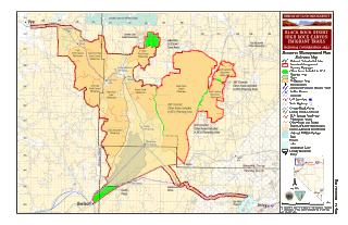
The Black Rock Desert is a semi-arid region of lava beds and playa, or alkali flats, situated in the Black Rock Desert–High Rock Canyon Emigrant Trails National Conservation Area, a silt playa 100 miles (160 km) north of Reno, Nevada, that encompasses more than 300,000 acres (120,000 ha) of land and contains more than 120 miles (200 km) of historic trails. It is in the northern Nevada section of the Great Basin with a lakebed that is a dry remnant of Pleistocene Lake Lahontan.

The Santa Monica Mountains are a coastal mountain range in Southern California, next to the Pacific Ocean. It is part of the Transverse Ranges. The Santa Monica Mountains National Recreation Area encompasses this mountain range. Because of its proximity to densely populated regions, it is one of the most visited natural areas in California.

The Green Mountains are a mountain range in the U.S. state of Vermont and are a subrange of the Appalachian Mountains. The range runs primarily south to north and extends approximately 250 miles (400 km) from the border with Massachusetts to the border with Quebec, Canada. The part of the same range that is in Massachusetts and Connecticut is known as The Berkshires or the Berkshire Hills and the Quebec portion is called the Sutton Mountains, or Monts Sutton in French.

The Usarp Mountains are a major mountain range in North Victoria Land, Antarctica. They are west of the Rennick Glacier and trend north to south for about 190 kilometres (118 mi). The mountains are bounded to the north by Pryor Glacier and the Wilson Hills. They are west of the Bowers Mountains.
The Aviator Glacier is a major valley glacier in Antarctica that is over 60 nautical miles long and 5 nautical miles wide, descending generally southward from the plateau of Victoria Land along the west side of Mountaineer Range, and entering Lady Newnes Bay between Cape Sibbald and Hayes Head where it forms a floating tongue.

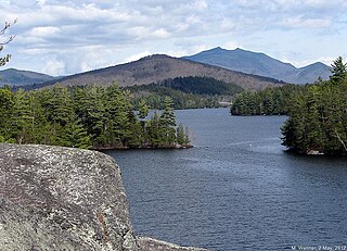
Storm King Mountain is a mountain on the west bank of the Hudson River just south of Cornwall-on-Hudson, New York. Together with Breakneck Ridge on the opposite bank of the river it forms "Wey-Gat" or Wind Gate, the picturesque northern narrows of the Hudson Highlands. Its distinctive curved ridge is the most prominent aspect of the view south down Newburgh Bay, from Newburgh, Beacon, and the Newburgh-Beacon Bridge. It can also be seen by southbound travelers on nearby sections of the New York State Thruway. This view was a popular subject for early artists of the Hudson River School.
Foundation Ice Stream is a major ice stream in the Pensacola Mountains of Antarctica. The ice stream drains northward for 150 nautical miles along the west side of the Patuxent Range and the Neptune Range to enter the Ronne Ice Shelf westward of Dufek Massif.

Hiko is a small, agrarian community in the Tonopah Basin on State Route 318 in Lincoln County, Nevada, United States. It is a census-designated place, with a population of 119 at the 2010 census.
The Sør Rondane Mountains are a group of mountains about 100 miles (160 km) long with main peaks rising to 3400 m, between the Queen Fabiola Mountains and Wohlthat Mountains in Queen Maud Land. They were discovered and photographed from the air by members of the Lars Christensen Expedition (LCE) on February 6, 1937, and named after Rondane, a mountain massif in southern Norway. The mountains and their constituent features were mapped in greater detail and named in 1957 by Norwegian cartographers working with air photos taken by U.S. Navy Operation Highjump, 1946–47.

Weepah Spring Wilderness is a 51,480-acre (20,830 ha) wilderness area in Lincoln and Nye Counties, in the U.S. state of Nevada. The Wilderness lies approximately 35 miles (56 km) north of the town of Alamo and is administered by the U.S. Bureau of Land Management.
Pryor Glacier is a glacier flowing northeastward, to the north of Mount Shields and Yermak Point, into Rennick Bay. The feature is about 30 nautical miles long and forms a physical separation between Wilson Hills and Usarp Mountains.

The Worthington Mountains is a small 12 miles (19 km) long north-south trending mountain range in northwestern Lincoln County, Nevada. The range is bounded by the Sand Spring Valley to the west and Garden Valley to the east. The Quinn Canyon Range lies to the northwest, the Golden Gate Range lies to the east and the Timpahute Range lies to the south and southeast.

The Seaman Range is a 30-mile (48 km) long mountain range in Lincoln and Nye counties, Nevada, in the western United States.
Klock Hill is a mountain located in Central New York region of New York southwest of Burlington, New York.
Red Hill is a mountain located in the Catskill Mountains of New York east-south of Frost Valley. Woodhull Mountain is located northeast of Red Hill.

The San Luis Hills are a group of small mountain ranges in Conejos and Costilla counties in the San Luis Valley in southern Colorado. The individual mountain ranges that make up the San Luis Hills include the Fairy Hills, the Brownie Hills, the Piñon Hills, and the South Piñon Hills. The San Luis Hills' highest point is Flat Top, elevation 9,206 feet

There is another Dewey Mountain in Chittenden County, Vermont


