West Denton | |
|---|---|
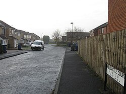 Milecastle Court | |
 West Denton Location in Tyne and Wear | |
| Coordinates: 54°59′31″N1°42′22″W / 54.992°N 1.706°W | |
| OS grid reference | NZ189664 |
| Sovereign state | United Kingdom |
| Country | England |
| City and metropolitan borough | Newcastle upon Tyne |
West Denton is an area in the western part of the city of Newcastle upon Tyne, Tyne and Wear, England.