West Mecca, Ohio

Last updated

West Mecca, Ohio
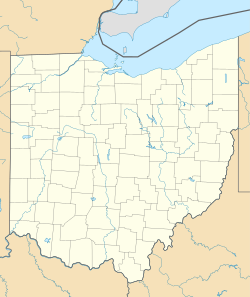
USA Ohio location map.svg
Red pog.svg
West Mecca, Ohio
Usa edcp location map.svg
Red pog.svg
West Mecca, Ohio
Coordinates: 41°23′25″N80°46′35″W / 41.39028°N 80.77639°W / 41.39028; -80.77639
Country United States
State Ohio
County Trumbull
Area
 • Water0 sq mi (0 km2)
Elevation
[1]
932 ft (284 m)
Population
 (2010)
 • Total
203,751 (Trumbull County)
Time zone UTC-5 (Eastern (EST))
 • Summer (DST) UTC-4 (EDT)
Area code 330
GNIS feature ID1061744 [1]

West Mecca is an unincorporated community in Trumbull County, in the U.S. state of Ohio. [1]

History

A post office called West Mecca was established in 1875, and remained in operation until 1903. [2] The community was founded sometime later than neighboring Mecca (formerly East Mecca). [3] The name Mecca comes from Mecca, in the Middle East. [4]

References

  1. 1 2 3 U.S. Geological Survey Geographic Names Information System: West Mecca, Ohio
  2. ↑ "Trumbull County". Jim Forte Postal History. Retrieved March 2, 2015.
  3. ↑ History of Trumbull and Mahoning Counties. 1882. p. 513.
  4. ↑ Gannett, Henry (1905). The Origin of Certain Place Names in the United States. U.S. Government Printing Office. p.  204.