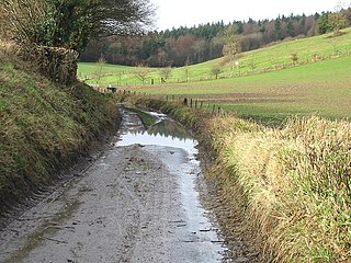
The Western Heights of Dover are one of the most impressive fortifications in Britain. They comprise a series of forts, strong points and ditches, designed to protect the country from invasion. They were created in the 18th and 19th centuries to augment the existing defences and protect the key port of Dover from both seaward and landward attack; by the start of the 20th century Dover Western Heights was collectively reputed to be the 'strongest and most elaborate' fortification in the country. The Army finally withdrew from the Heights in 1956–61; they are now a local nature reserve.

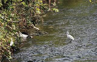
The Swale is a tidal channel of the Thames estuary that separates the Isle of Sheppey from the rest of Kent. On its banks is a 6,509.4-hectare (16,085-acre) biological Site of Special Scientific Interest which stretches from Sittingbourne to Whitstable in Kent. It is also a Ramsar internationally important wetland site and a Special Protection Area under the European Union Directive on the Conservation of Wild Birds. Parts of it are a Nature Conservation Review site, Grade I, National Nature Reserves, a Kent Wildlife Trust nature reserve and a Local Nature Reserve.

South Swale is a 410.5-hectare (1,014-acre) Local Nature Reserve north of Faversham in Kent. It is owned by Kent County Council and managed by Kent Wildlife Trust. It is part of The Swale Ramsar site, Special Protection Area and Site of Special Scientific Interest

Lydden and Temple Ewell Downs is a 63.2-hectare (156-acre) biological Site of Special Scientific Interest north-west of Dover in Kent. It is a Special Area of Conservation and Nature Conservation Review site. It is also part of the 78.5-hectare (194-acre) Lydden Temple Ewell National Nature Reserve and the 90-hectare (220-acre) Lydden Temple Ewell nature reserve, which is managed by the Kent Wildlife Trust. It is in the South Downs Area of Outstanding Natural Beauty.

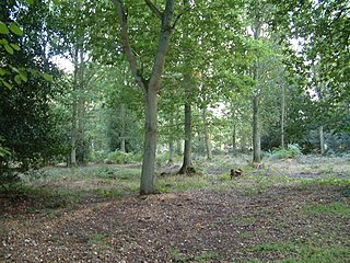
Pamber Forest and Silchester Common is a 341.7-hectare (844-acre) biological Site of Special Scientific Interest in Tadley in Hampshire. Pamber Forest and Upper Inhams Copse is managed by the Hampshire and Isle of Wight Wildlife Trust and Pamber Forest is a Local Nature Reserve.

Oak Hill Wood is a 10-hectare Local Nature Reserve (LNR) and a Site of Borough Importance for Nature Conservation Grade I, in East Barnet, London. It is owned by the London Borough of Barnet, and part of it is a 5.5-hectare nature reserve managed by the London Wildlife Trust.

Beam Valley Country Park is a 74-hectare park in Dagenham in the London Borough of Barking and Dagenham. Most of it is designated as a Local Nature Reserve (LNR) called Beam Valley, but a narrow strip next to the River Beam south from Western Avenue is a separate LNR called Beam Valley. The park is also designated as two Sites of Borough Importance for Nature Conservation, Grade 1, one north and the other south of South Dagenham Road.

High Meadow is a 21.3-hectare (53-acre) Local Nature Reserve on the western outskirts of Dover in Kent. It is owned by Dover Town Council and managed by The White Cliffs Countryside Partnership. It was declared a Local Nature Reserve in 2006.

Dryhill is an 11.7-hectare (29-acre) geological Site of Special Scientific Interest on the western outskirts of Sevenoaks in Kent. It is a Geological Conservation Review site, and an area of 9.5 hectares is a Local Nature Reserve

Folkestone Warren is a 316.3-hectare (782-acre) biological and geological Site of Special Scientific Interest (SSSI) which runs along the coast between Folkestone and Dover in Kent. It is a Nature Conservation Review site and it contains three Geological Conservation Review sites and part of a fourth. An area of 83.6 hectares is a Local Nature Reserve,

Ashford Green Corridors is a 47.4-hectare (117-acre) Local Nature Reserve in Ashford in Kent, England. It is owned and managed by Ashford Borough Council.

Bus Company Island is a 1.1-hectare (2.7-acre) Local Nature Reserve in Canterbury in Kent. It is owned and managed by Canterbury City Council.

Ditton Quarry is a 5.6-hectare (14-acre) Local Nature Reserve in Ditton, on the north-western outskirts of Maidstone in Kent. It is owned and managed by Ditton Parish Council.

Foal Hurst Wood is a 12.9-hectare (32-acre) Local Nature Reserve on the south-western outskirts of Paddock Wood in Kent. It is owned by Tunbridge Wells Borough Council and managed by Paddock Wood Town Council.

Jumping Downs is a 5.7-hectare (14-acre) Local Nature Reserve near Aylesham, between Canterbury and Dover in Kent. It is owned by the Jumping Downs Trust and managed by the Trust and the Kentish Stour Community Partnership.

Prince's Beachlands is a 6-hectare (15-acre) Local Nature Reserve north of Sandwich in Kent. It is owned by Dover Town Council and managed by Kent Wildlife Trust as part of the Sandwich Bay to Hacklinge Marshes nature reserve. It is part of the Sandwich and Pegwell Bay Nature Conservation Review site, Grade I, Thanet Coast and Sandwich Bay Ramsar site, Sandwich Bay Special Area of Conservation, Thanet Coast and Sandwich Bay Special Protection Area and Sandwich Bay to Hacklinge Marshes Site of Special Scientific Interest.

Seasalter Levels is a 71.4-hectare (176-acre) Local Nature Reserve in Seasalter, on the western outskirts of Whitstable in Kent. It is owned and managed by Canterbury City Council. It is part of The Swale Ramsar site, Special Protection Area and Site of Special Scientific Interest.

Whinless Down is a 19.3-hectare (48-acre) Local Nature Reserve on the western outskirts of Dover in Kent. It is owned by Dover Town Council and managed by the White Cliffs Countryside Partnership.

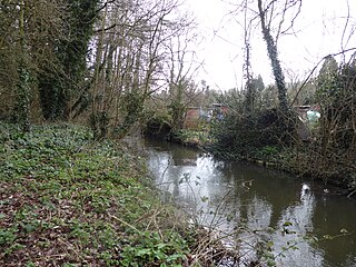
River Len is a 1.7-hectare (4.2-acre) Local Nature Reserve in Maidstone in Kent. It is owned and managed by Maidstone Borough Council.


