| Zengena Lake | |
|---|---|
 Zengena Lake | |
 Zengena Lake | |
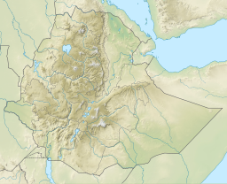
| Location | Amhara Region |
| Coordinates | 10°54′50″N36°58′00″E / 10.91389°N 36.96667°E |
| Type | crater lake |
| Basin countries | Ethiopia |
| Max. length | 1 km (0.62 mi) |
| Max. width | 1 km (0.62 mi) |
| Max. depth | 166 m (545 ft) |
| Surface elevation | 2,500 m (8,200 ft) |
 | |
Zengena Lake (Amharic : ዘንገና ሐይቅ) is a crater lake located at 10°54′50″N36°58′00″E / 10.91389°N 36.96667°E in the Awi Zone of the Amhara Region in Ethiopia. It is situated between the towns of Injibara and Kessa, only 200 km from the Addis Ababa-Bahir Dar highway at an elevation of 2500 m. The diameter of the lake is roughly 1 km. With a maximum depth of 166 m, it is the second deepest lake in Ethiopia after Lake Shala. Its rim is made of unconsolidated ash deposits. Zengena Lake is most likely a maar lake formed by volcanic explosion and collapse. [1]