
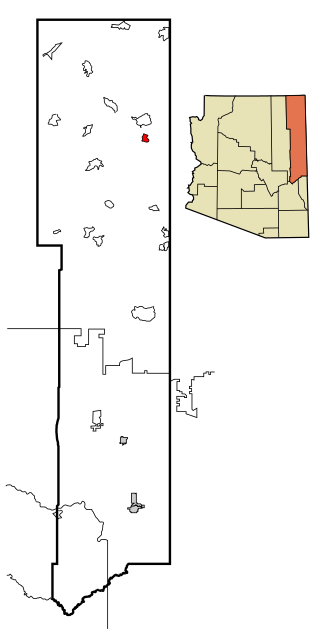
Apache County is in the northeast corner of the U.S. state of Arizona. Shaped in a long rectangle running north to south, as of the 2020 census, its population was 66,021. The county seat is St. Johns.

Burnside is a native village and census-designated place (CDP) on the Navajo Nation in Apache County, Arizona, United States. The population was 537 at the 2010 census.

Ganado is a chapter of the Navajo Nation and census-designated place (CDP) in Apache County, Arizona, United States. The population was 1,210 at the 2010 census.

Houck is a census-designated place (CDP) in Apache County, Arizona, United States. The population was 1,024 at the 2010 census.

Lukachukai is a census-designated place (CDP) in Apache County, Arizona, United States. The population was 1,701 at the 2010 census. It is within the Navajo Nation.

Nazlini is a census-designated place (CDP) in Apache County, Arizona, United States. The population was 489 at the 2010 census. Nearby are Nazlini Creek and Nazlini Canyon. Nazlini Canyon is the site of many Native American ruins and campsites that were abandoned when erosion made them unusable.

Sawmill is a census-designated place (CDP) in Apache County, Arizona, United States. Sawmill is a part of Fort Defiance Agency, which is on the Navajo Nation. The population was 748 at the 2010 census. It is named after and developed around a sawmill. A trading post has been present since 1907.

St. Michaels is a chapter of the Navajo Nation and a census-designated place (CDP) in Apache County, Arizona, United States. The Navajo Nation Government Campus is located within the chapter at Window Rock.

Steamboat is a census-designated place (CDP) in Apache County, Arizona, United States, that includes Steamboat Canyon and Steamboat Trading Post. The population was 284 at the 2010 census.
Teec Nos Pos is a census-designated place (CDP) in Apache County, Arizona, United States. The population was 507 at the 2020 census. It is the western terminus of U.S. Route 64.
Tsaile is a census-designated place (CDP) in Apache County, Arizona, United States, on the Navajo Nation. The population was 1,205 at the 2010 census.

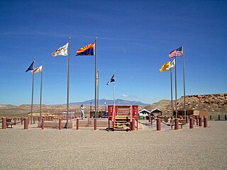
Window Rock, known in Navajo as Tségháhoodzání, is a city and census-designated place that serves as the capital of the Navajo Nation, the largest Native American tribe by both land and tribal enrollment. The capital lies within the boundaries of the St. Michaels Chapter, adjacent to the Arizona and New Mexico state line. Window Rock is the site of the Navajo Nation governmental campus, which contains the Navajo Nation Council, Navajo Nation Supreme Court, the offices of the Navajo Nation President and Vice President, and many Navajo government buildings.

Greasewood is a census-designated place (CDP) in Navajo County, Arizona, United States. The population was 547 at the 2010 census.
Ganado Unified School District is located in Ganado, Arizona, Apache County. The district includes four schools: Ganado High School, Ganado Middle School, Ganado Intermediate School and Ganado Primary School. Ganado Primary School is known for effectively using a holistic approach to language and culture and as "one of the best examples of a school culture that supports professional development".
Red Rock is an unincorporated community and census-designated place (CDP) in Apache County, Arizona, United States. Red Rock is located on the Navajo Nation near the New Mexico border, 16 miles (26 km) northeast of Lukachukai. Red Rock has a post office with ZIP code 86544; the post office uses the Red Valley name. As of the 2010 census, the Red Rock CDP had a population of 169.
Ganado High School is a high school in Ganado, Arizona. It is the only high school under the jurisdiction of the Ganado Unified School District.
Cottonwood is a census-designated place (CDP) in Apache County, Arizona, United States. The population was 226 at the 2010 census.
Klagetoh is a census-designated place (CDP) in Apache County, Arizona, United States. The population was 242 at the 2010 census.
Toyei is a census-designated place (CDP) in Apache County, Arizona, United States. The population was 13 at the 2010 census.
Wide Ruins is a chapter of the Navajo Nation and a census-designated place (CDP) in Apache County, Arizona, United States. The population was 176 at the 2010 census.


