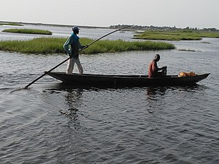
Collines is one of the twelve departments of Benin, located in the centre of the country; its name means "hills" in French. The department of Collines was created in 1999 when it was split off from Zou Department. In 2016, the city of Dassa-Zoumé became the department's capital.
Péhunco or Péhonko is a town, arrondissement and commune located in the Atakora Department of Benin. The commune covers an area of 1,900 kilometres (1,200 mi) and as of 2013 had a population of 78,217 people.

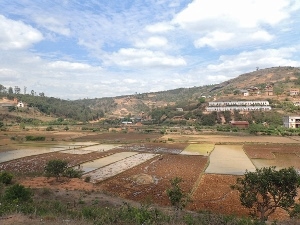
Nandihizana is a town and commune in Madagascar. Its previous name was Carion; It belongs to the district of Manjakandriana, which is a part of Analamanga Region. The population of the commune was estimated to be approximately 5,000 in 2001 commune census.
Toffo is a town and commune in the Atlantique Department of southern Benin. The commune covers an area of 515 square kilometres and as of 2002 had a population of 74,717 people.
Lalo is a town, arrondissement, and commune in the Kouffo Department of south-western Benin. The commune covers an area of 432 square kilometres and as of 2013 had a population of 119,926 people.
Toviklin is a town, arrondissement, and commune in the Kouffo Department of south-western Benin. The commune covers an area of 120 square kilometres and as of 2013 had a population of 88,611 people.

Bopa is a town, arrondissement, and commune in the Mono Department of south-western Benin.The commune covers an area of 365 square kilometres and as of 2002 had a population of 70,268 people.
Bonou is a town, arrondissement, and commune in the Ouémé Department of south-eastern Benin. The commune covers an area of 275 square kilometres and as of 2002 had a population of 29,656 people.
Ifangni is a town, arrondissement, and commune in the Plateau Department of south-eastern Benin. The commune covers an area of 242 square kilometres and as of 2002 had a population of 113,749 (2013) people.
Ina is a town and arrondissement in the Borgou Department of Benin. It is an administrative division under the jurisdiction of the commune of Bembèrèkè. According to the population census conducted by the Institut National de la Statistique Benin on February 15, 2002, the arrondissement had a total population of 16,558.
Sontou is a town and arrondissement in the Borgou Department of Benin. It is an administrative division under the jurisdiction of the commune of Pèrèrè. According to the population census conducted by the Institut National de la Statistique Benin on February 15, 2002, the arrondissement had a total population of 4,583.
Bélléfoungou is an arrondissement in the Donga department of Benin. It is an administrative division under the jurisdiction of the commune of Djougou. According to the population census conducted by the Institut National de la Statistique Benin on February 15, 2002, the arrondissement had a total population of 5,125.
Kolokondé is an arrondissement in the Donga department of Benin. It is an administrative division under the jurisdiction of the commune of Djougou. According to the population census conducted by the Institut National de la Statistique Benin on February 15, 2002, the arrondissement had a total population of 17,419.
Badjoudè is an arrondissement in the Donga department of Benin. It is an administrative division under the jurisdiction of the commune of Ouaké. According to the population census conducted by the Institut National de la Statistique Benin on February 15, 2002, the arrondissement had a total population of 7,658.
Kinkinhoué is an arrondissement in the Kouffo department of Benin. It is an administrative division under the jurisdiction of the commune of Djakotomey. According to the population census conducted by the Institut National de la Statistique Benin on February 15, 2002, the arrondissement had a total population of 4,988.
Sokouhoué is an arrondissement in the Kouffo department of Benin. It is an administrative division under the jurisdiction of the commune of Djakotomey. According to the population census conducted by the Institut National de la Statistique Benin on February 15, 2002, the arrondissement had a total population of 11,998.
Ayomi is an arrondissement in the Kouffo department of Benin. It is an administrative division under the jurisdiction of the commune of Dogbo. According to the population census conducted by the Institut National de la Statistique Benin on February 15, 2002, the arrondissement had a total population of 14,191.
Lobogo is an arrondissement in the Mono department of Benin. It is an administrative division under the jurisdiction of the commune of Bopa. According to the population census conducted by the Institut National de la Statistique Benin on February 15, 2002, the arrondissement had a total population of 17,622.
Agatogbo is an arrondissement in the Mono department of Benin. It is an administrative division under the jurisdiction of the commune of Comè. According to the population census conducted by the Institut National de la Statistique Benin on February 15, 2002, the arrondissement had a total population of 9,758.
Banigbé is an arrondissement in the Plateau department of Benin. It is an administrative division under the jurisdiction of the commune of Ifangni. According to the population census conducted by the Institut National de la Statistique Benin on February 15, 2002, the arrondissement had a total population of 16,080.


