
Homeacre-Lyndora is a census-designated place (CDP) in Butler County, Pennsylvania, United States. The population was 6,906 at the 2010 census.

Madisonburg is an unincorporated community and census-designated place (CDP) in Miles Township, Centre County, Pennsylvania, United States. It is part of the State College, Pennsylvania Metropolitan Statistical Area. The population was 168 at the 2010 census.

Mercersburg is a borough in Franklin County, located near the southern border of Pennsylvania, United States. The borough is 72 miles (116 km) southwest of Harrisburg, the state capital.

Peters Township is a township in Franklin County, Pennsylvania, United States. The population was 4,462 at the 2020 census.
Quincy Township is a township in Franklin County, Pennsylvania. The population was 5,318 at the 2020 census, a decline from the figure of 5,541 tabulated in 2010.
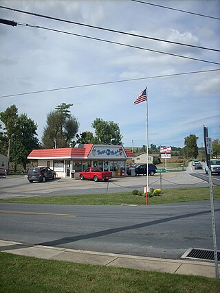
Rouzerville is an unincorporated community and census-designated place (CDP) in Franklin County, Pennsylvania, United States. The population was 903 at the 2020 census.

St. Thomas Township is a township in Franklin County, Pennsylvania, United States. The population was 5,917 at the 2020 census.
Leola is a census-designated place (CDP) in Lancaster County, Pennsylvania, United States. It includes the unincorporated communities of Leola, Leacock, and Bareville, and prior to 2010 was known as the Leacock-Leola-Bareville census-designated place. Originally named "Mechanicsburg", its present name is a portmanteau of "Leacock" and the "Glenola" train station that once served the town. As of the 2010 census, the population of the CDP was 7,214.

Farmington is an unincorporated community and census-designated place in Wharton Township, Fayette County, Pennsylvania, United States. It is located along U.S. Route 40, the National Road, approximately 60 miles (97 km) southeast of Pittsburgh, and is the closest settlement to Fort Necessity National Battlefield. It is also home to Historic Summit Inn Resort, the four-star Nemacolin Woodlands Resort and the New Meadow Run and Spring Valley Bruderhofs, two of a group of international Christian communities with about 200 members in each. As of the 2010 census, the population of Farmington was 767.
Fivepointville is an unincorporated community and census-designated place (CDP) in Brecknock Township, Lancaster County, Pennsylvania, United States. As of the 2010 census, the population was 1,156. The town is named for its position at an intersection of five separate roads.
Pen Mar is an unincorporated community and census-designated place (CDP) in Washington Township, Franklin County, Pennsylvania, United States. It is located along the Mason–Dixon line, bordered to the south by the community of Pen Mar Park in Maryland. As of the 2020 census the population of Pen Mar was 947. The community's name is a portmanteau of "Pennsylvania" and "Maryland".

Loudon is a census-designated place (CDP) and the main village in the town of Loudon in Merrimack County, New Hampshire, United States. The population of the CDP was 711 at the 2020 census, out of 5,576 in the entire town.
Frizzleburg is an unincorporated community and census-designated place (CDP) in Lawrence County, Pennsylvania, United States. The population was 602 at the 2010 census.
New Bedford is an unincorporated community and census-designated place (CDP) in Lawrence County, Pennsylvania, United States. The population was 925 at the 2010 census.
Indian Mountain Lake is a census-designated place (CDP) in Carbon County and Monroe County, Pennsylvania. It is part of Northeastern Pennsylvania.
Soudersburg is an unincorporated community and census-designated place (CDP) in East Lampeter and Leacock townships in Lancaster County, Pennsylvania, United States. As of the 2010 census, the population was 540.
Bloomville is a hamlet and census-designated place (CDP) in the town of Kortright, Delaware County, New York, United States. The population was 213 at the 2010 census.
Fort Clark Springs is an unincorporated community and census-designated place (CDP) in Kinney County, Texas, United States. The population was 1,228 at the 2010 census. It is the site of the former Fort Clark, now a historic district.
Nealmont is an unincorporated community and census-designated place (CDP) in Blair County, Pennsylvania, United States. It was first listed as a CDP prior to the 2020 census.
Sickles Corner is an unincorporated community and census-designated place (CDP) in Blair County, Pennsylvania, United States. It was first listed as a CDP prior to the 2020 census.


