
John Bunyan was an English writer and Puritan preacher. He is best remembered as the author of the Christian allegory The Pilgrim's Progress, which also became an influential literary model. In addition to The Pilgrim's Progress, Bunyan wrote nearly sixty titles, many of them expanded sermons.

Bedford is a market town in Bedfordshire, England. At the 2011 Census, the population of its urban area, including Kempston and Biddenham, was 106,940. Bedford is also the county town of Bedfordshire and seat of the Borough of Bedford, a unitary authority that includes a significant rural area.

Kempston is a town and civil parish in the Borough of Bedford, Bedfordshire, England, situated around 2 miles (3.2 km) south-west of Bedford town centre. It had a population of 19,330 in the 2011 census, and forms part of the wider Bedford built-up area. The River Great Ouse separates it from the Queen's Park area of Bedford.

Little Barford is a hamlet and civil parish in the Borough of Bedford in Bedfordshire, England about 7 miles (11 km) northeast of the county town of Bedford.

The Borough of Bedford is a unitary authority area with borough status in the ceremonial county of Bedfordshire, England. Its council is based in Bedford, its namesake and principal settlement, which is the county town of Bedfordshire. The Bedford built-up-area is the 71st largest in the United Kingdom and comprises the boundaries of the pre-1974 Bedford Municipal Borough, the town of Kempston and the village of Biddenham, with the BUA surrounded by a rural area with many villages. 75% of the borough's population live in the Bedford Urban Area and the five large villages which surround it, which makes up slightly less than 6% of the total land area of the Borough.
Stagsden is a small but historic village and civil parish located in the Borough of Bedford, northwest Bedfordshire, England, near the Buckinghamshire border. Situated around 4 miles (6.4 km) west of Bedford town centre on one of the main routes between it and Milton Keynes, the village was bypassed by the A422 in April 1992, to allow the increasing amount of traffic to avoid the 30 mph speed limit in Stagsden.

Cardington is a village and civil parish in the Borough of Bedford in Bedfordshire, England.

North East Bedfordshire is a constituency represented in the House of Commons of the Parliament of the United Kingdom since 2019 by Richard Fuller, of the Conservative Party.

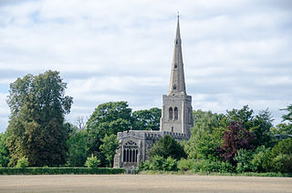
Turvey is a village and civil parish on the River Great Ouse in the Borough of Bedford, Bedfordshire, England, about 7 miles (11 km) west of Bedford town centre. The village is on the A428 road between Bedford and Northampton, close to the border with Buckinghamshire. The 2011 Census recorded the parish's population as 1,225.

Kempston Rural is a civil parish in the Borough of Bedford in Bedfordshire, England.
Colmworth is a village and civil parish in the Borough of Bedford in the county of Bedfordshire, England about 6.5 miles (10 km) north-east of Bedford.

Eastcotts is an electoral ward within the Borough of Bedford, in the ceremonial county of Bedfordshire, England. It was formerly also a civil parish until its abolition on 1 April 2019, when Cotton End and Shortstown parishes were established.

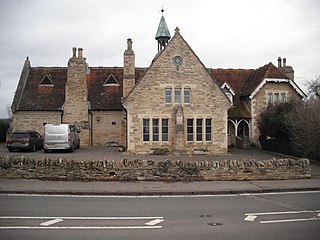
Elstow is a village and civil parish in the Borough of Bedford, Bedfordshire, England, about 2 miles (3.2 km) south of Bedford town centre.
Renhold is a village and civil parish located on the River Ouse, in the Borough of Bedford, Bedfordshire, England. The parish church is situated some 4 miles (6.5 km) east-north-east of Bedford town centre. The former Bedfordshire County Council estimated the population of Renhold to be 1,800 in 2005, and forecast an increase to 2,320 by 2010.
Shortstown is a village and civil parish on the outskirts of Bedford, on a ridge above the River Great Ouse, originally called Tinkers Hill.
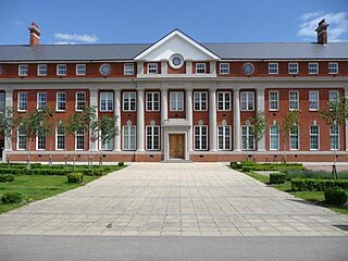
Wixams is a new town and civil parish located in Bedfordshire, England, which has been under construction since early 2007. It is expected to become the third largest settlement in the Borough of Bedford after Bedford itself and Kempston, and one of the largest new settlements founded in England since the British new towns movement of the first twenty five years after World War II.

Kingsbrook is an electoral ward and area within the town of Bedford, England.
Cotton End is a small village and civil parish on the outskirts of Bedford. It became its own parish as of 1 April 2019, having previously been part of the parish of Eastcotts. Ordnance Survey maps from the 1880s show its name as 'Cardington Cotton End'.

