This article includes a list of general references, but it lacks sufficient corresponding inline citations .(July 2020) |
| Karuppanadhi Dam | |
|---|---|
 | |
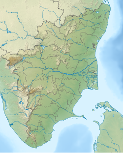 Karuppanadhi Dam Location of the Karuppanadhi Dam in Tamil Nadu | |
| Country | India |
| Location | Kadayanallur , Tenkasi district, Tamil Nadu |
| Coordinates | 9°08′15.5″N77°18′12.7″E / 9.137639°N 77.303528°E |
| Purpose | Irrigation |
| Status | Completed |
| Construction began | 1971 |
| Opening date | 1977 |
| Owner | Government of Tamilnadu |
| Dam and spillways | |
| Height | 22 m (72 ft) |
| Length | 890 m (2,920 ft) |
| Spillways | 2 |
| Spillway type | OG |
| Spillway capacity | 357 m3 (12,607 ft3) |
| Reservoir | |
| Total capacity | 5,240,000 m3 (185,048,854 ft3) [1] |
The Karuppanadhi Dam is located at the foothills of Western Ghats built across the Karuppanadhi river near Chokkampatti, in the Tirunelveli district of Tamil Nadu, southern India. It provides water for irrigation to the region of Kadayanallur Taluk.