Moodus is a village in the town of East Haddam, Connecticut, United States. The village is the basis of a census-designated place (CDP) of the same name. The population of the CDP was 1,982 as of the census of 2020.

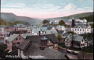
Millers Falls is a census-designated place (CDP) in the towns of Montague and Erving in Franklin County, Massachusetts, United States. The population was 1,139 at the 2010 census. It is part of the Springfield, Massachusetts metropolitan statistical area.

South Deerfield is a census-designated place (CDP) in Deerfield, Franklin County, Massachusetts, United States. It is home to the Yankee Candle Company. At the 2010 census, the population of South Deerfield was 1,880.

Turners Falls is an unincorporated village and census-designated place in the town of Montague in Franklin County, Massachusetts, United States. The population was 4,512 at the 2020 census. It is part of the Springfield, Massachusetts Metropolitan Statistical Area. Its name is sometimes used as a metonym for the entire town of Montague, for which it is the business district and comprises more than half the population.

Henrietta Township is a civil township of Jackson County in the U.S. state of Michigan. The population was 4,705 at the 2010 census.

Deerfield River is a river that runs for 76 miles (122 km) from southern Vermont through northwestern Massachusetts to the Connecticut River. The Deerfield River was historically influential in the settlement of western Franklin County, Massachusetts, and its namesake town. It is the Connecticut River's second-longest tributary in Massachusetts, 2.1 miles (3.4 km) shorter than Metropolitan Springfield's Westfield River.

Mount Frissell, 2,454 feet (748 m), which straddles the border of southwest Massachusetts and northwest Connecticut, is part of the Taconic Range. Frissel's south slopes include the highest point in Connecticut.

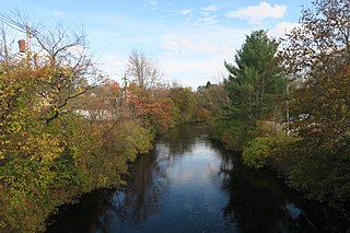
The Mill River is a 13.5-mile-long (21.7 km) tributary of the Connecticut River arising in the western hilltowns of Hampshire County, Massachusetts. It is notable for dropping in elevation, along with its West Branch, more than 700 feet (210 m) over 15 miles (24 km).
The Rock River is a 12.9-mile-long (20.8 km) tributary of the West River in southern Vermont in the United States. Via the West River, it is part of the watershed of the Connecticut River.

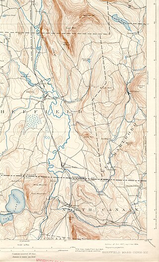
The Scantic River is a river that flows through the states of Massachusetts and Connecticut and is tributary to the Connecticut River.

The Quaboag River is a 25.7-mile-long (41.4 km) river in Massachusetts that heads at Quaboag Pond in Brookfield at an elevation of 594 feet (181 m) above sea level. It flows west to the village of Three Rivers, Massachusetts, at an elevation of 290 feet (88 m).

The Konkapot River is a 22.1-mile-long (35.6 km) river in southwestern Massachusetts and northern Connecticut. It is a tributary of the Housatonic River, not to be confused with the smaller Konkapot Brook in Stockbridge. The river was named for Captain John Konkapot, an Indian chief.
The Burnshirt River is a 12.9-mile-long (20.8 km) stream in Worcester County, Massachusetts. It is a tributary of the Ware River, draining ultimately into the Connecticut River and thence the Long Island Sound.

Dinosaur Footprints in Holyoke, Massachusetts, USA is an 8-acre (3 ha) wilderness reservation purchased for the public in 1935 by The Trustees of Reservations. The Reservation is currently being managed with the assistance from the Massachusetts Department of Conservation and Recreation (DCR). The fossil and plant resources on the adjacent Holyoke Gas and Electric (HG&E) riverfront property are being managed cooperatively by The Trustees, Mass DCR, and HG&E.
Little Tom Mountain is a 73-acre (300,000 m2) nature preserve in Holyoke, Massachusetts and is managed by the Trustees of Reservations. The land was purchased in 2002 by a joint effort of the Trustees of Reservations, U.S. Fish and Wildlife Service, the Department of Conservation and Recreation, and the Holyoke Boys & Girls Club from the holders of the former Mt. Tom Ski area. The Trustees and the Holyoke Boys and Girls Club have a cooperative management approach of the area and run an environmental education program together.

Zoar is a village within the town of Charlemont, Massachusetts in Franklin County, Massachusetts, United States on the east bank of the Deerfield River.

The Otter River is a river in Massachusetts that flows approximately 10 miles and is a major tributary of the Millers River which in turn is a tributary of the Connecticut River. The Otter River enters the Millers River in Winchendon in Otter River State Forest.
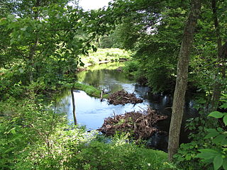
Schenob Brook is a stream in Berkshire County, Massachusetts and Litchfield County, Connecticut, in the United States. Variant names are Kisnop Brook, Schenop Brook, and Skerrob Brook.


