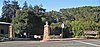
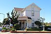
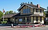
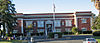
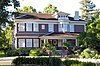
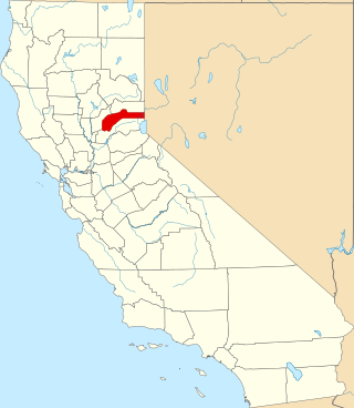
This is intended to be a complete list of the properties and districts on the National Register of Historic Places in Contra Costa County, California, United States. Latitude and longitude coordinates are provided for many National Register properties and districts; these locations may be seen together in an online map.[1]
There are 49 properties and districts listed on the National Register in the county, including 1 National Historic Landmark.
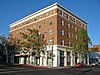
Atchison Village page at Rosie the Riveter Trust website with information about its history. The page also includes a link to the NRHP nomination form.
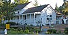
First property listed under the Multiple Property Submission "Historic Resources of Martinez, California" also accepted to the National Register of Historic Places April 2015.
This is a list of the National Register of Historic Places listings in Humboldt County, California.
This is a list of the National Register of Historic Places listings in Fresno County, California.
This is a list of the National Register of Historic Places listings in Tulare County, California.
This is a list of the National Register of Historic Places listings in Nevada County, California.
This is a list of the National Register of Historic Places listings in Shasta County, California.
This is a list of the National Register of Historic Places listings in Tuolumne County, California.
This is a list of the National Register of Historic Places listings in Solano County, California.
This is a list of the National Register of Historic Places listings in Colusa County, California.
This is a list of the National Register of Historic Places listings in Mono County, California.
This is a list of the National Register of Historic Places listings in Plumas County, California.
This is a list of the National Register of Historic Places listings in Alpine County, California.
This is a list of the National Register of Historic Places listings in Stanislaus County, California.
This is a list of the National Register of Historic Places listings in Amador County, California.
This is a list of the National Register of Historic Places listings in El Dorado County, California.
This is a list of the National Register of Historic Places listings in Inyo County, California.
This is a list of the National Register of Historic Places listings in Calaveras County, California. This is intended to be a complete list of the properties and districts on the National Register of Historic Places in Calaveras County, California, United States. Latitude and longitude coordinates are provided for many National Register properties and districts; these locations may be seen together in an online map.
This is a list of the National Register of Historic Places listings in Merced County, California.
This is a list of the National Register of Historic Places listings in Imperial County, California.
This is a list of the National Register of Historic Places listings in Tehama County, California.
This is a list of the National Register of Historic Places listings in Madera County, California.
References
↑ The latitude and longitude information provided in this table was derived originally from the National Register Information System, which has been found to be fairly accurate for about 99% of listings. Some locations in this table may have been corrected to current GPS standards.
↑ Numbers represent an alphabetical ordering by significant words. Various colorings, defined here, differentiate National Historic Landmarks and historic districts from other NRHP buildings, structures, sites or objects.
↑ The eight-digit number below each date is the number assigned to each location in the National Register Information System database, which can be viewed by clicking the number.
This page is based on this Wikipedia article Text is available under the CC BY-SA 4.0 license; additional terms may apply. Images, videos and audio are available under their respective licenses.