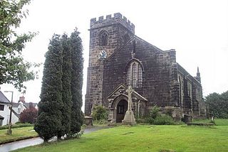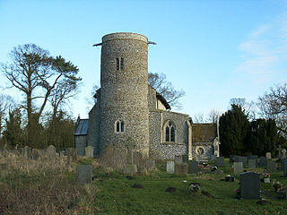
Downley is a village and civil parish in the Wycombe district of Buckinghamshire, England. It is high in the Chiltern Hills, overlooking the town of High Wycombe, although today it is almost indistinguishable from the urban spread of the latter town.

Nash is a village and also a civil parish within the unitary authority area of Buckinghamshire, England. It is in the north of the county, about 5 miles (8.0 km) south-west of Milton Keynes and 4 miles (6.4 km) east of Buckingham. According to the 2011 census, the population total of Nash was 417.

Hartshorne is a village and civil parish in the English county of Derbyshire. The population of the civil parish as of the 2011 census was 3,888. It is north of the town of Swadlincote.

Pertenhall is a small village and civil parish located in Bedfordshire, close to the borders of Cambridgeshire and Northamptonshire. Its parish council is a Quality Parish Council. It has recently published its Parish Plan which is available on the website

Badingham is a civil parish in the East Suffolk district of eastern England, in the county of Suffolk. It is situated 21.8 miles north east of Ipswich, 35 miles away from Norwich and 13 miles away from the Coast. With the road "A1120" slicing through the middle of the parish. Badingham's name is Anglo-Saxon and means "the farmstead of Beada's people". Badingham contains a significant number of farms, sparse amount of housing, numerous B&Bs as well as St. Johns Church.

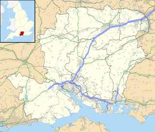
Beech is a village and civil parish in the East Hampshire district of Hampshire, England. It lies 2 miles (3 km) west of Alton, just west of the A339 road.

Beetley is a village and civil parish in the Breckland district of Norfolk, England. According to the 2011 census the parish had a population of 1,396. The village is situated four miles (6 km) north of East Dereham.

Burland is a village and civil parish in the unitary authority of Cheshire East and the ceremonial county of Cheshire, England, about 2½ miles west of Nantwich. The civil parish also includes the small settlements of Burland Lower Green, Burland Upper Green, Hollin Green and Stoneley Green, as well as parts of Gradeley Green and Swanley. The eastern part of the village of Ravensmoor also falls within the civil parish.

Wramplingham is a village and civil parish in the English county of Norfolk. It is situated on the River Tiffey some 4 miles (6.4 km) north of Wymondham and 7 miles (11 km) west of Norwich. The civil parish has an area of 3.47 square kilometres and in 2001 had a population of 110 in 44 households, increasing to a population of 115 in 51 households at the 2011 Census. For the purposes of local government, the parish falls within the district of South Norfolk.

Wood Dalling is a village and civil parish in Norfolk, England. It is located 8 miles (13 km) south of Holt and 3 miles (4.8 km) north of Reepham, the nearest market towns.

Merton is a civil parish in the English county of Norfolk. It covers an area of 5.94 km2 (2.29 sq mi) and had a population of 113 in 50 households at the 2001 census, increasing to a population of 133 in 56 households at the 2011 census. For the purposes of local government, it falls within the district of Breckland.

Courteenhall is a village 5 miles (8 km) south of the county town of Northampton, in the shire county of Northamptonshire, England, and about 66 miles (106 km) north of London. The population of the civil parish was 122 at the 2011 census. The village is located in a cul-de-sac.

Hackleton is a village located in West Northamptonshire, just north of Buckinghamshire. It is 5 miles (8.0 km) south of Northampton town centre, and 2 miles (3.2 km) by road to the M1 London to Yorkshire motorway junction 15 and 11 miles (18 km) north of junction 14. London is 62 miles (100 km) south via junction 14 and 47 miles (76 km) southeast of Birmingham via junction 15. It lies on the busy B526 road from Northampton to Newport Pagnell, between Horton and Wootton. The parish area is about 1,030 acres (420 ha).

Littleton and Harestock is a civil parish consisting of the villages of Littleton and Harestock in the City of Winchester district of Hampshire, England. The population of the civil parish at the 2011 Census was 3,577.

Moreton cum Alcumlow is a small civil parish in the unitary authority of Cheshire East and the ceremonial county of Cheshire, England. In the census of 2001 it was recorded as having a population of 150. The civil parish holds a parish council meeting under a grouping scheme with the adjacent civil parish of Newbold Astbury, and so it is consequently called Newbold Astbury-cum-Moreton Parish Council. Within the civil parish is the small village of Ackers Crossing, and Alcumlow Hall and Great Moreton Hall.

Great Livermere is a village and civil parish in the West Suffolk district of Suffolk in eastern England. It is located around four miles north-east of the borough's largest town Bury St Edmunds.

Hyde is a village and civil parish in the New Forest near Fordingbridge in Hampshire, England.

Piddington is a village and civil parish about 4.5 miles (7 km) southeast of Bicester in Oxfordshire, England. It lies close to the border with Buckinghamshire. Its toponym has been attributed to the Old English Pyda's tun. The 2011 Census recorded the parish's population as 370.

Kirstead is a civil parish in the English county of Norfolk.

Thurleigh is a village and civil parish in north Bedfordshire, England.


