| Wollongong Botanic Garden | |
|---|---|
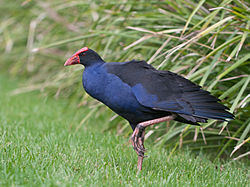
 Water fowl at the garden's Autumn Lake | |
 Wollongong Botanic Gardens  Wollongong Botanic Gardens | |
| Type | Botanical garden |
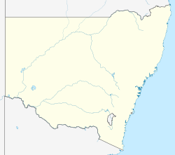
| Location | Wollongong, New South Wales, Australia |
| Coordinates | 34°24′36″S150°52′39″E / 34.41000°S 150.87750°E |
| Opened | 1964 |
| Website | Official website |
The Wollongong Botanic Garden is located in the Wollongong suburb of Keiraville at the foot of Mount Keira in New South Wales, Australia. It is the local botanical gardens of the Illawarra and was established in 1964. [1] It was opened in September 1970.
Contents
The garden is co-located with the historic Gleniffer Brae house, used for functions and the Wollongong Conservatorium of Music.
A number of annexes are managed by the garden - Puckeys Estate Reserve in Fairy Meadow, the Korrongulla Wetlands in Primbee and the Mount Keira Summit Park.