
Troy is a city in Madison County, Illinois, United States. The population was 10,960 at the 2020 census, up from 9,888 in 2010.

Cedar Hill is an unincorporated community and census-designated place (CDP) in northwest Jefferson County, Missouri, United States. The population was 1,721 at the 2010 census.

Fredericktown is a city in and the county seat of Madison County, Missouri, United States, in the northeastern foothills of the St. Francois Mountains. The population was 4,429 at the 2020 census, up from 3,985 in 2010. The city is surrounded on three sides by the easternmost parcel of the Mark Twain National Forest.
Granville South is a census-designated place (CDP) in Licking County, Ohio, United States. The population was 1,420 at the 2020 census.

Joanna is an unincorporated community and census-designated place (CDP) in Laurens County, South Carolina, United States. The population was 1,539 at the 2010 census, down from 1,609 at the 2000 census. It is part of the Greenville–Mauldin–Easley Metropolitan Statistical Area.

North Spearfish is a census-designated place (CDP) in Lawrence County, South Dakota, United States. The population was 2,366 at the 2020 census.
Mine La Motte is an unincorporated community and census-designated place (CDP) in Madison County, Missouri, United States. As of the 2020 census, the population was 364.
Excello is an unincorporated community and census-designated place (CDP) in southern Macon County, Missouri, United States. As of the 2020 United States census, it had a population of 61.
Hopeland is a small unincorporated hamlet and census-designated place (CDP) that is located in Lancaster County in the south of the U.S. state of Pennsylvania in the United States. The hamlet's ZIP code is 17533.
Prairietown is an unincorporated community and census-designated place (CDP) in Madison County, Illinois, United States. As of the 2020 census, it had a population of 153. It is part of the Metro East region of Greater St. Louis.
Kent is an unincorporated community and census-designated place (CDP) in Republican Township, Jefferson County, Indiana, United States. As of the 2010 census it had a population of 70.
Hilltop Lakes is a census-designated place and unincorporated community in Leon County, Texas, United States. As of the 2010 census, the population was 1,101.
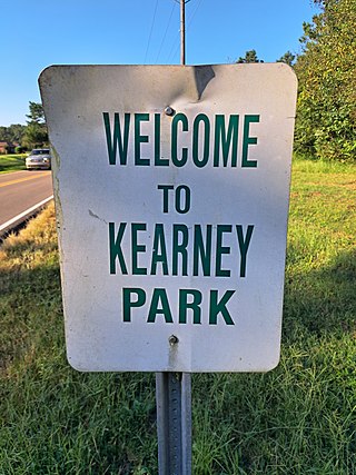
Kearney Park is an unincorporated community and census-designated place (CDP) located on Livingston-Vernon Road in western Madison County, Mississippi, United States. As of the 2020 census, the population was 1,048. Kearney Park is part of the Jackson Metropolitan Statistical Area.
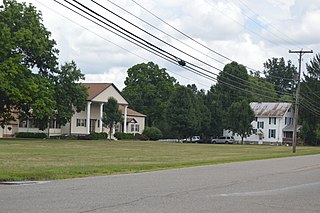
Marne is an unincorporated community and census-designated place (CDP) in Licking County, Ohio, United States. As of the 2020 census it had a population of 772.
Justice Addition is an unincorporated community and census-designated place (CDP) in Logan County, West Virginia, United States. The community was first listed as a CDP prior to the 2020 census. The population was 331 at the 2020 census.
Victoria is a census-designated place and unincorporated community in Marshall County, Mississippi, United States. It was first listed as a CDP in the 2020 census, which recorded a population of 1,066.

Soudersburg is an unincorporated community and census-designated place (CDP) in East Lampeter and Leacock townships in Lancaster County, Pennsylvania, United States. As of the 2010 census, the population was 540.
Teresita is an unincorporated community and census-designated place (CDP) in Cherokee County, Oklahoma, United States. The population was 159 at the 2010 census.
LaBarque Creek is an unincorporated community and census-designated place (CDP) in Jefferson County, Missouri, United States. Its population was 1,558 as of the 2010 census.
Lake Cherokee is an unincorporated community and census-designated place (CDP) in Gregg and Rusk counties, Texas, United States. Its population was 2,980 as of the 2020 census. Lake Cherokee is located 12 miles southeast of Gregg and northeastern Rusk counties on Cherokee Bayou. The lake is owned by the Cherokee Water Company to supply water for municipal, industrial, and recreational purposes. It has a capacity of 68,700 acre-feet. The lake impounds Cherokee Bayou. The top of the dam is at the elevation of 295 feet above the average sea level, but it has a max design of 291 feet above the average sea level. Lake Cherokee is located 12 miles southeast of Gregg and northeastern Rusk counties on Cherokee Bayou. The lake is owned by the Cherokee Water Company to supply water for municipal, industrial, and recreational purposes.


