Related Research Articles

Buckhorn is a community in Pulaski County, Missouri, United States. It is on Route 17 just south of its junction with Interstate 44 It is also on historic U.S. Route 66. The community is within the Mark Twain National Forest and the northwest corner of Fort Leonard Wood is three miles to the east. Waynesville is six miles to the northeast along Route 44 and Laquey is two miles to the southwest off of Route 17.

Saco is an unincorporated community in southern Madison County, Missouri, United States. The community is situated on Twelvemile Creek and is located sixteen miles southwest of Fredericktown on Missouri Route C.
Millcreek is an unincorporated community in Castor Township in Madison County, Missouri, United States. It is located on Mill Creek, just east of U.S. Route 67, approximately three miles south of Fredericktown.

Zion is an unincorporated community in Central Township in southern Madison County, Missouri, United States. It is located on U.S. Route 67, approximately ten miles south of Fredericktown. The community is situated on the banks of Twelve Mile Creek.
Bessville is an unincorporated community in the southern part of Crooked Creek Township in eastern Bollinger County, Missouri, United States. The community lies on the east bank of Crooked Creek and at the end of Missouri Route OO. It is located approximately seven miles northwest of Marble Hill and 5.5 miles southeast of Marquand in adjacent Madison County.
Cockrum is an unincorporated community in Dunklin County, in the U.S. state of Missouri.
Crane Pond Creek is a stream in Iron and Wayne counties in the U.S. state of Missouri.
Allbright is an unincorporated community in southeastern Madison County, in the U.S. state of Missouri.
Big Creek is a stream in southern Madison and northeastern Wayne counties the U.S. state of Missouri. It is a tributary of the Castor River.
Cornwall is an unincorporated community in eastern Madison County, in the U.S. state of Missouri.
French Mills is an unincorporated community in western Madison County, in the U.S. state of Missouri. The community is on Marble Creek, just west of that stream's confluence with the St. Francis River.
Higdon is an unincorporated community in northeast Madison County, in the U.S. state of Missouri.
Huzzah Creek is a stream in southern Madison County the U.S. state of Missouri. It is a tributary of the St. Francis River.
Jewett is an unincorporated community in southwest Madison County, in the U.S. state of Missouri.
Leatherwood Creek is a stream in Iron and Madison County in the U.S. state of Missouri. It is a tributary of St. Francis River.
Marsh Creek is a stream in Madison County in the U.S. state of Missouri. It is a tributary of the St. Francis River.
Roselle is an unincorporated community in northwest Madison County, in the U.S. state of Missouri.
Twelvemile is an unincorporated community in Madison County, in the U.S. state of Missouri.
Big Creek is an unincorporated community in Texas County, in the U.S. state of Missouri. The community was located along Big Creek, approximately 2.5 miles south of Yukon and one-half mile east of Missouri Route 137. The Big Creek school was south of the creek and the Big Creek church was about one-half mile north along a county road.
Gravelton is an unincorporated community in northeastern Wayne County, in the U.S. state of Missouri. The community is on the banks of Big Creek and one mile east of the community of Cascade.
References
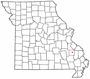
- ↑ U.S. Geological Survey Geographic Names Information System: Buckhorn, Madison County, Missouri
- ↑ Missouri Atlas & Gazetteer, DeLorme, 1998, First edition, p. 57, ISBN 0-89933-224-2
- ↑ Cascade, Missouri, 7.5 Minute Topographic Quadrangle, USGS, 1980
- ↑ "Post Offices". Jim Forte Postal History. Retrieved October 31, 2016.
- ↑ "Madison County Place Names, 1928–1945". The State Historical Society of Missouri. Archived from the original on June 24, 2016. Retrieved October 31, 2016.
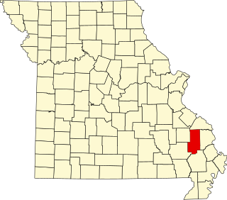
Municipalities and communities of Madison County, Missouri, United States | ||
|---|---|---|
| Cities |  | |
| Villages | ||
| Townships | ||
| CDPs | ||
| Other unincorporated communities | ||
| Abandoned villages | ||
37°20′17″N90°17′22″W / 37.33806°N 90.28944°W
| | This Madison County, Missouri state location article is a stub. You can help Wikipedia by expanding it. |