Abo, New Mexico | |
|---|---|
 | |
 Abo, New Mexico | |
| Coordinates: 34°27′21″N106°19′59″W / 34.45583°N 106.33306°W | |
| Country | United States |
| State | New Mexico |
| County | Torrance |
| Time zone | Mountain (MST) |
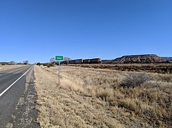
Abo is an unincorporated community in Torrance County, New Mexico, United States, located on U.S. Route 60. It is the nearest community to Abo, a pueblo and mission ruin of the same name that is a National Historic Landmark. A post office was operated here from 1910 to 1914. [1]
