Amaxac de Guerrero | |
|---|---|
 Church of San Bernabé | |
 Amaxac de Guerrero  Amaxac de Guerrero | |
| Coordinates: 19°22′N98°11′W / 19.367°N 98.183°W | |
| Country | |
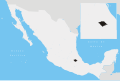
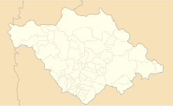
| State | Tlaxcala |
| Government | |
| • Presidente municipal | Reyes Vázquez Hernández |
| Time zone | UTC-6 (Central) |
Amaxac de Guerrero is a municipality in the Mexican state of Tlaxcala. [1]