
Acotango is the central and highest of a group of stratovolcanoes straddling the border of Bolivia and Chile. It is 6,052 metres (19,856 ft) high. The group is known as Kimsa Chata and consists of three mountains: Acotango, Umurata north of it and Capurata south of it.

Incahuasi is a volcanic mountain in the Andes of South America. It lies on the border of the Catamarca Province of Argentina and the Atacama Region of Chile. Incahuasi has a summit elevation of 6,621 metres (21,722 ft) above sea level.

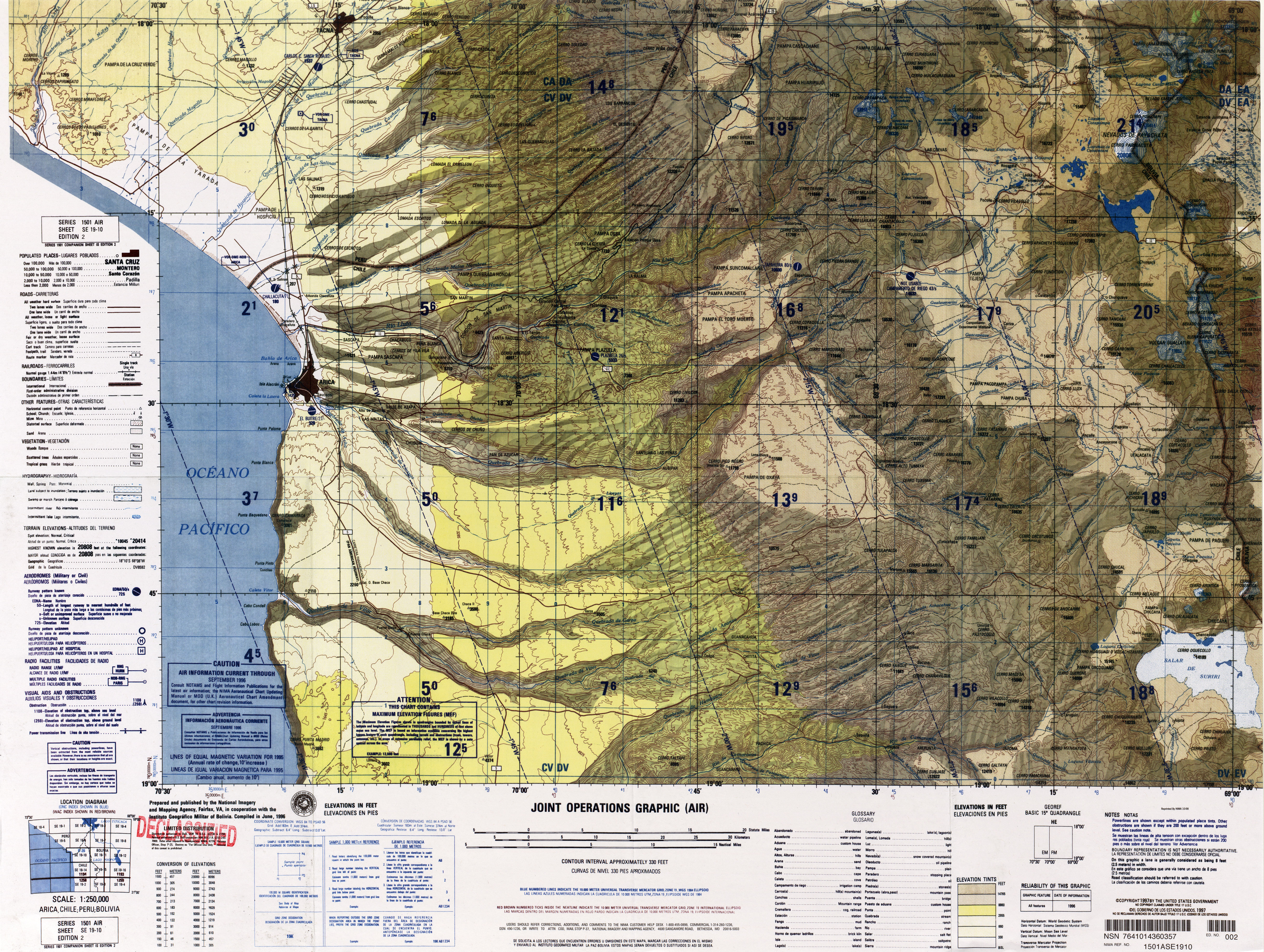
Tacora is a stratovolcano located in the Andes of the Arica y Parinacota Region of Chile. Near the border with Peru, it is one of the northernmost volcanoes of Chile. It is part of the Central Volcanic Zone in Chile, one of the four volcanic belts of the Andes. The Central Volcanic Zone has several of the highest volcanoes in the world. Tacora itself is a stratovolcano with a caldera and a crater. The youngest radiometric age is 50,000 years ago and it is heavily eroded by glacial activity.

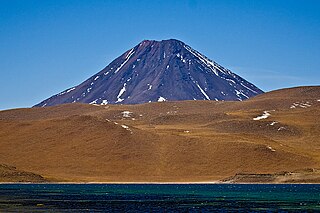
Miñiques is a massive volcanic complex containing a large number of craters, lava domes and flows, located in the Antofagasta Region of Chile. Located 21 km (13 mi) south of Volcán Chiliques and 26 km (16 mi) west of Cordón Puntas Negras, it is part of a frequently visited attraction conformed by the high plain lagoons Laguna Miscanti, Laguna Miñiques and the Cerro Miscanti volcano.
Chiliques is a stratovolcano located in the Antofagasta Region of Chile.

Pular is a massive stratovolcano located in the Antofagasta Region of northern Chile, about 15 km west of the border with Argentina, which in this area is a straight line between the summits of Socompa volcano and Cerro del Rincón. Pular, along with Cerro Pajonales, forms a high volcanic ridge, which runs in a generally north-east to south-west direction for 12 km (7 mi). Southward, following the same direction as the ridge, lies Socompa volcano. The ridge's crest forms a drainage divide between Salar de Atacama basin and Salar de Pular basin. This latter is a bowl-shaped basin enclosed on the east by Aracar volcano.

San Pedro is a Holocene composite volcano in northern Chile and at 6,155 metres (20,194 ft) in elevation one of the highest active volcanoes in the world. Part of the Chilean Andes' volcanic segment, it is part of the Central Volcanic Zone of the Andes, one of the four tracts of the Andean Volcanic Belt. This region of volcanism includes the world's two highest volcanoes Ojos del Salado and Llullaillaco. San Pedro, like other Andean volcanoes, was formed by the subduction of the Nazca Plate beneath the South America Plate. It has a neighbouring volcano, San Pablo, and is itself formed by two separate edifices usually known as the Old Cone and the Young Cone. These edifices are formed by rocks ranging from basaltic andesite over andesite to dacite and are emplaced on a basement formed by Miocene volcanic rocks.

Taapaca is a Holocene volcanic complex in northern Chile's Arica y Parinacota Region. Located in the Chilean Andes, it is part of the Central Volcanic Zone of the Andean Volcanic Belt, one of four distinct volcanic chains in South America. The town of Putre lies at the southwestern foot of the volcano.

Pukintika is a volcano in the Andes, about 5,407 m (17,740 ft) high, situated in the Cordillera Occidental on the border of Bolivia and Chile. It is located in the Arica and Parinacota Region of Chile and the Oruro Department of Bolivia. Pukintika lies to the north of the Salar de Surire, east beside Arintika volcano which is younger than Pukintika. Pukintika also features a crater lake with a surface area of 2,500 square metres (27,000 sq ft). Deposits of elemental sulfur have been found on Pukintika.
Lauca is a 5,140 metres (16,860 ft) high andesitic stratovolcano in the Central Volcanic Zone of the Andes on the Altiplano in northern Chile. Administratively it is located in Putre, Arica y Parinacota Region. The volcano was active during the Late Miocene from 10.5 million years ago onwards. A major ignimbrite collapsed the volcano in the Late Pliocene.
Firura is an extinct volcano of the Central Andean Volcanic Belt, located in the Arequipa Region of southern Peru. Together with Sara Sara, Solimana and Coropuna it forms one of the Central Andean volcanoes. It is in the Andes, north of the Pucuncho Basin.
Irruputuncu is a volcano in the commune of Pica, Tamarugal Province, Tarapacá Region, Chile, as well as San Pedro de Quemes Municipality, Nor Lípez Province, Potosí Department, Bolivia. The mountain's summit is 5,163 m (16,939 ft) high and has two summit craters—the southernmost 200 m (660 ft)-wide one has active fumaroles. The volcano also features lava flows, block and ash flows and several lava domes. The volcano is part of the Andean Central Volcanic Zone (CVZ).

Acamarachi is a 6,046-metre (19,836 ft) high volcano in northern Chile. In this part of Chile, it is the highest volcano. Its name means "black moon". It is a volcano in the Central Volcanic Zone of the Andes, a zone of strong volcanic activity during the last million years. Old volcanoes in the area are well-preserved, due to the dry climate.

Sairecabur is a volcano located on the frontier between Bolivia and Chile. It is part of the Andean Central Volcanic Zone. Sairecabur proper is 5,971 m (19,590 ft) high; other mountains in the range are 5,722 m (18,773 ft) high Curiquinca, 5,819 m (19,091 ft) high Escalante and 5,748 m (18,858 ft) high Cerro Colorado, all of which have erupted a number of lava flows. Also in close proximity to Sairecabur lie the volcanic centres Licancabur, Putana and Juriques.

Olca-Paruma is a volcanic complex in Chile. Lying on the border between Chile and Bolivia, it is formed by an east–west alignment of volcanoes. From west to east, these are Cerro Paruma, Volcan Paruma, Olca, and Mencheca or Michincha. Aside from the mines of Ujina, Rosario, and Quebrada Blanca, the area is sparsely populated.

Sara Sara is a 5,505-metre-high (18,061 ft) volcano lying between Lake Parinacochas and the Ocoña River in Peru. It is situated in the Parinacochas Province and the Paucar del Sara Sara Province. The volcano formed during the Pleistocene during four different stages of volcanic activity, which constructed a volcanic edifice with an oval outline consisting of lava flows and lava domes. The volcano was glaciated during the last glacial maximum; it may still feature glaciers. The last eruption was about 14,000 years ago and future eruptions are possible. The volcano was worshipped by the local population, and an Inca mummy of a 15-year old girl was found on the summit by archaeologists.

Sillajhuay is a volcano on the border between Bolivia and Chile. It is part of a volcanic chain that stretches across the border between Bolivia and Chile and forms a mountain massif that is in part covered by ice; whether this ice should be considered a glacier is debatable but it has been retreating in recent decades.

Nevado Sajama is an extinct volcano and the highest peak in Bolivia. The mountain is located in Sajama Province, in Oruro Department. It is situated in Sajama National Park and is a composite volcano consisting of a stratovolcano on top of several lava domes. It is not clear when it erupted last but it may have been during the Pleistocene or Holocene.

Guallatiri is a volcano in Chile with an elevation of 6,060 to 6,071 m. It is located southwest of the Nevados de Quimsachata volcanic group; some sources classify Guallatiri as a member. Guallatiri is a stratovolcano with numerous fumaroles around the summit. The summit may be a lava dome or volcanic plug, while the lower flanks of the volcano are covered by lava flows and lava domes. The volcano's eruptions have produced mostly dacite along with andesite and rhyolite. Past glaciation has left moraines on Guallatiri.

Nevado Tres Cruces is a massif of volcanic origin in the Andes Mountains on the border of Argentina and Chile. It has two main summits, Tres Cruces Sur at 6,748 metres (22,139 ft) and Tres Cruces Centro at 6,629 m (21,749 ft) and a third minor summit, Tres Cruces Norte 6,030 m (19,780 ft). Tres Cruces Sur is the sixth highest mountain in the Andes.

