Arzanah Airport | |||||||||||
|---|---|---|---|---|---|---|---|---|---|---|---|
| Summary | |||||||||||
| Airport type | Private | ||||||||||
| Operator | Zakum Development Company | ||||||||||
| Location | Arzanah, UAE | ||||||||||
| Time zone | UAE Standard Time (UTC+04:00) | ||||||||||
| Elevation AMSL | 15 ft / 5 m | ||||||||||
| Coordinates | 24°46′51″N052°33′35″E / 24.78083°N 52.55972°E | ||||||||||
| Map | |||||||||||
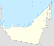 OMAR Location in the UAE 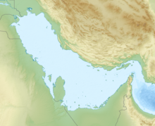 OMAR OMAR (Persian Gulf) 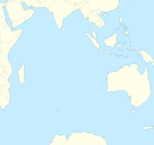 OMAR OMAR (Indian Ocean) 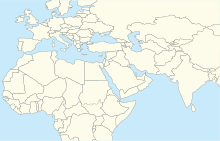 OMAR OMAR (Middle East)  OMAR OMAR (West and Central Asia)  OMAR OMAR (Asia) | |||||||||||
 | |||||||||||
| Runways | |||||||||||
| |||||||||||
Arzanah Airport( ICAO : OMAR) is a small private airfield operated by the Zakum Development Company and serves the oil field at Arzanah, Abu Dhabi, UAE.