Belmar, Nebraska | |
|---|---|
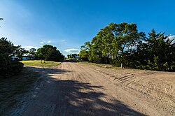 Creekside Acres Road in Belmar | |
 Belmar  Belmar | |
| Coordinates: 41°18′20″N101°56′05″W / 41.30556°N 101.93472°W | |
| Country | United States |
| State | Nebraska |
| County | Keith |
| Area | |
• Total | 4.58 sq mi (11.87 km2) |
| • Land | 4.58 sq mi (11.87 km2) |
| • Water | 0 sq mi (0.00 km2) |
| Elevation | 3,343 ft (1,019 m) |
| Population (2020) | |
• Total | 199 |
| • Density | 43.4/sq mi (16.77/km2) |
| Time zone | UTC-7 (Mountain (MST)) |
| • Summer (DST) | UTC-6 (MDT) |
| ZIP code | 69147 |
| FIPS code | 31-04055 |
| GNIS feature ID | 2583874 [2] |
Belmar is an unincorporated community and census-designated place in Keith County, Nebraska, United States. [3] As of the 2010 census it had a population of 216. [4]
