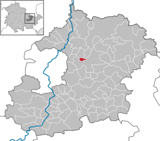
Sickerode is a municipality in the district of Eichsfeld in Thuringia, Germany.
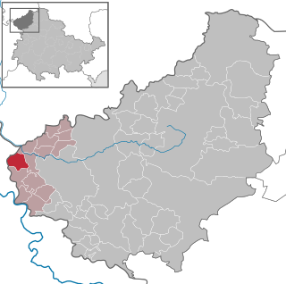
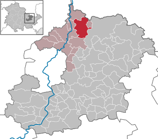
Hohengandern is a municipality in the district of Eichsfeld in Thuringia, Germany. It is part of the Verwaltungsgemeinschaft Hanstein-Rusteberg.

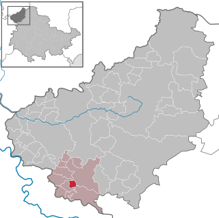
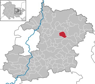
Eichstruth is a municipality in the district of Eichsfeld in Thuringia, Germany. By area, it is the smallest municipality in what was East Germany, although there are 35 rural municipalities ("Gemeinden") and one city ("Stadt"), Arnis, in what was West Germany that have lesser or equal area.

Sondershausen is a town in Thuringia, central Germany, capital of the Kyffhäuserkreis district, situated about 50 km north of Erfurt. On 1 December 2007, the former municipality Schernberg was incorporated by Sondershausen.

Bad Berka is a German spa town, situated in the south of Weimar region in the state of Thuringia. With its almost 8,000 inhabitants Bad Berka is the second biggest city in Weimarer Land district. The river flowing through the town, which is embedded in new red sandstone, is called Ilm. Since 1 December 2008, the city has incorporated the former municipality of Gutendorf.

Ronneburg is a town in the district of Greiz, in Thuringia, Germany. It is situated 7 km east of Gera.

Tonndorf is a municipality in the Weimarer Land district of Thuringia, Germany. The nearest train station is the village München at the railway from Kranichfeld to Weimar, about four kilometers east of Tonndorf.

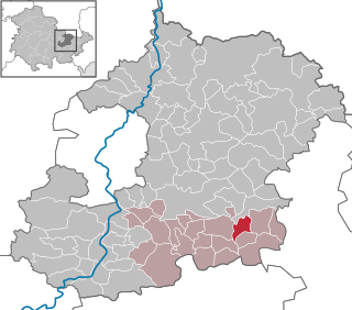
Bibra is a municipality in the district Saale-Holzland, in Thuringia, Germany.
Ottendorf is a municipality in the district Saale-Holzland, in Thuringia, Germany.
Crossen an der Elster is a municipality in the district Saale-Holzland, in Thuringia, Germany.
Frauenprießnitz is a municipality in the district Saale-Holzland, in Thuringia, Germany.

Löberschütz is a municipality in the district Saale-Holzland, in Thuringia, Germany.
Nausnitz is a municipality in the district Saale-Holzland, in Thuringia, Germany.
Serba is a municipality in the district Saale-Holzland, in Thuringia, Germany.
Silbitz is a municipality in the district Saale-Holzland, in Thuringia, Germany.

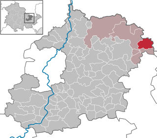
Tautenburg is a municipality in the district Saale-Holzland, in Thuringia, Germany. It is home to the Karl Schwarzschild Observatory.

Krölpa is a municipality in the district Saale-Orla-Kreis, in Thuringia, Germany.

Werra-Suhl-Tal is a town and a municipality in the Wartburgkreis district of Thuringia, Germany. It was created on 1 January 2019 by the merger of the municipalities of Berka/Werra, Dankmarshausen, Dippach and Großensee. Its name refers to the rivers Werra, Suhl (Weihe) and Suhl (Werra).
Wartburgkreis III is an electoral constituency represented in the Landtag of Thuringia. It elects one member via first-past-the-post voting. Under the current constituency numbering system, it is designated as constituency 7. It covers the northern part of Wartburgkreis.
Weimarer Land I – Saalfeld-Rudolstadt III is an electoral constituency represented in the Landtag of Thuringia. It elects one member via first-past-the-post voting. Under the current constituency numbering system, it is designated as constituency 30. It covers the western and southern of Weimarer Land and the northern part of Saalfeld-Rudolstadt.


