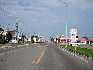
Berthierville (also called Berthier-en-haut, and legally called Berthier before 1942) is a town located between Montreal and Trois-Rivières on the north shore of the Saint Lawrence River in Quebec, Canada. Berthierville is the seat of D'Autray Regional County Municipality, and is served by Autoroute 40, and is the junction of Routes 138 and 158. It is surrounded by the parish municipality of Sainte-Geneviève-de-Berthier.
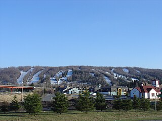
Saint-Sauveur is a town and municipality within the Les Pays-d'en-Haut Regional County Municipality, Quebec, Canada. It is in the administrative region of Laurentides in the Laurentian mountains, located about 60 kilometres north of Montreal.

Malartic is a town on the Malartic River in northwestern Quebec, Canada, in the La Vallée-de-l'Or Regional County Municipality. It is located about 80 kilometres (50 mi) east of the centre of Rouyn-Noranda along Quebec Route 117 and the Canadian National Railway.
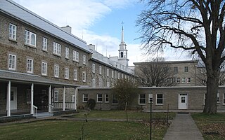
Notre-Dame-des-Anges is a parish municipality in Quebec, Canada, home of the General Hospital of Quebec.

Saint-Jules is a parish municipality in the Beauce-Centre Regional County Municipality in the Chaudière-Appalaches region of Quebec, Canada. Its population was 547 as of the Canada 2021 Census. It is named after Pope Julius I.

Saint-Narcisse-de-Beaurivage is a parish municipality in the Lotbinière Regional County Municipality in the Chaudière-Appalaches region of Quebec, Canada. Its population is 1,152 as of the Canada 2021 Census. It was named after the Narcisse Dionne, an early benefactor of the parish. Beaurivage is associated to the seigneurie of Beaurivage, also known as Saint-Gilles.

Saint-Mathieu-d'Harricana is a municipality in the Canadian province of Quebec, located in the Abitibi Regional County Municipality. It is part of the census agglomeration of Amos.
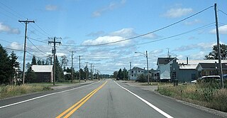
Trécesson is a township municipality in the Canadian province of Quebec, located in the Abitibi Regional County Municipality.

Clerval is a municipality in northwestern Quebec, Canada, in the Abitibi-Ouest Regional County Municipality. It covers 101.6 km² and had a population of 373 as of the 2021 Canadian census.

Dupuy is a municipality in northwestern Quebec, Canada, in the Abitibi-Ouest Regional County Municipality. It covers 123.48 km2 and had a population of 940 as of the 2021 Canadian census.
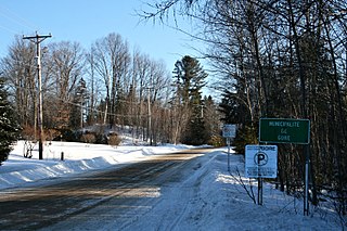
Gore is a township municipality in the Canadian province of Quebec, located within the Argenteuil Regional County Municipality. Its main community is Lakefield.
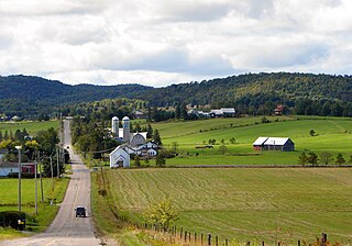
Harrington is a township municipality in the Laurentides region of Quebec, Canada, part of the Argenteuil Regional County Municipality. It is located in the Laurentian Mountains, about 40 kilometres (25 mi) north-west of Lachute.

Wentworth is a township municipality in the Laurentides region of Quebec, Canada, part of the Argenteuil Regional County Municipality, north-west of Lachute.

Sainte-Catherine-de-la-Jacques-Cartier is a town in Quebec, Canada, located in the regional county municipality of La Jacques-Cartier, in the administrative region of Capitale-Nationale. The Jacques-Cartier River passes through the city.
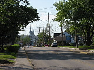
Saint-Félicien is a city in the Canadian province of Quebec. The town is located within the Le Domaine-du-Roy Regional County Municipality in the Saguenay-Lac-Saint-Jean region. Its population as of 2023 is 10,226.

Lac-Chicobi is an unorganized territory in the Canadian province of Quebec, located within the Abitibi Regional County Municipality. The area consists of two non-contiguous portions on either side of the incorporated municipality of Berry.

Sainte-Marie is a city in the province of Quebec, Canada. It is the seat of the Municipalité régionale de la Nouvelle-Beauce, in Chaudière-Appalaches, Quebec, Canada. The population was 13,134 as of the Canada 2021 Census, and was 95.7% French-speaking as of 2021. It is located 59 kilometres (37 mi) south-east of Quebec City, on the Chaudière River.

Saint-André-du-Lac-Saint-Jean is a village municipality, in Le Domaine-du-Roy Regional County Municipality, in Quebec, in Canada.
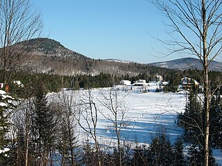
Sainte-Brigitte-de-Laval is a city in La Jacques-Cartier Regional County Municipality in the Capitale-Nationale region of Quebec, Canada. Its urban area is located in the hollow of the Montmorency River valley, northeast of Quebec City.

Carleton-sur-Mer is the fifth largest town of the Gaspésie's south shore, in southeastern Quebec, Canada, located on Route 132, along Chaleur Bay. It is the seat of the Avignon Regional County Municipality.


