
The City of Lismore is a local government area in the Northern Rivers region of New South Wales, Australia. The seat of the local government area is Lismore, a major regional centre of the state.

Bungowannah is a locality in the Riverina region of New South Wales, Australia. The locality is on the Riverina Highway, about 16 kilometres (9.9 mi) north west of Albury and 8 kilometres (5.0 mi) south east of Howlong.
Tantonan is a rural locality in the central south part of the Riverina, New South Wales, Australia. It is situated by road, about 8 kilometres north west from Caldwell and 13 kilometres south east from Bunnaloo.

Pulletop is a rural locality in the south eastern part of the Riverina - it used to be called Pullitop. It is situated by road, about 5 kilometres east south-east of Burrandana and 9 kilometres north of Westby.

Nerrigundah is a locality and former village in south eastern New South Wales situated at the head of the Tuross River Valley, nineteen kilometres inland from Bodalla. At the 2021 census, the locality had a population of 40.

Fitzroy Falls is a village in the Wingecarribee Shire, located within the Southern Highlands region of New South Wales, Australia. The locality was known as Yarrunga, but was renamed after the 81-metre (266 ft) waterfall.
Wildes Meadow is a locality in the Southern Highlands of New South Wales, Australia, in Wingecarribee Shire.
Glenquarry is a locality in the Southern Highlands of New South Wales, Australia, in Wingecarribee Shire. It is a scattered village on the banks of the Wingecarribee River.
New Berrima is a village in the Southern Highlands of New South Wales, Australia, in Wingecarribee Shire.
Paddys River is a locality in the Southern Highlands of New South Wales, Australia, in Wingecarribee Shire. The locality was previously known as Murrimba. It is south of Canyonleigh.
Upper Kangaroo River is a small village in the Southern Highlands of New South Wales, Australia, in Shoalhaven City Council. It is located on the Kangaroo River, a tributary of the Shoalhaven River. At the 2021 census, it had a population of 151.
Wattle Ridge is a locality in the Southern Highlands of New South Wales, Australia, in Wingecarribee Shire. It is located near Buxton and Balmoral.
Batehaven is a locality approximately 4 kilometres (2 mi) from Batemans Bay in south-central New South Wales. At the 2021 census it had a population of 1,911.
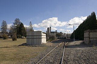
Marinna is a locality in Junee Shire in southern New South Wales, Australia. Its main feature is a grain silo on the Main South railway line. A station was opened in the locality between 1897 and 1975.
Kundabung is a locality on the North Coast of New South Wales, Australia.
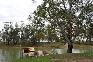
Speewa is a rural locality in the Riverina District of New South Wales, Australia near the Murray River in Murray River Council local government area.
Bendalong (Bendy) is a small town situated on the South Coast of New South Wales. It is located in the region of Ulladulla, in the City of Shoalhaven. At the 2016 census, it had a population of 95.
Tomakin is a small seaside village on the south coast of New South Wales between the major towns of Batemans Bay and Moruya. At the 2021 census, the town had a population of 1,233. It is most closely flanked by the other small villages of Guerilla Bay and Mossy Point.
East Kangaloon is a locality in the Southern Highlands of New South Wales, Australia, in Wingecarribee Shire.

Broughton Village is a locality on the border of the Kiama and Shoalhaven local government areas in New South Wales, Australia. It lies on the Princes Highway about 18 km southwest of Kiama and 39 km north of Nowra and on Broughton Creek. At the 2021 census, it had a population of 95. Broughton Village is to not to be confused with Broughton, a locality that lies to its immediate southwest or Broughton Vale, which lies to its immediate northwest.
This page is based on this
Wikipedia article Text is available under the
CC BY-SA 4.0 license; additional terms may apply.
Images, videos and audio are available under their respective licenses.
