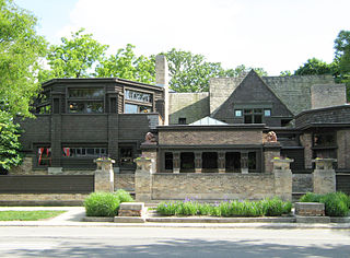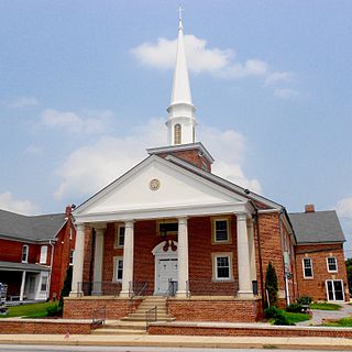
Montgomery County is a county located in the U.S. state of Illinois. According to the 2020 census, it had a population of 28,288. Its county seat is Hillsboro.

Marion County is located in the U.S. state of Indiana. The 2020 United States census reported a population of 977,203, making it the 54th-most populous county in the U.S., the most populous county in the state, and the main population center of the 11-county Indianapolis–Carmel–Greenwood MSA in central Indiana. Indianapolis is the county seat, the state capital, and most populous city. Marion County is consolidated with Indianapolis through an arrangement known as Unigov.

McDonough County is a county in the U.S. state of Illinois. According to the 2020 census, it had a population of 27,238. Its county seat is Macomb, which is also the home of Western Illinois University.

Cook County is the most populous county in the U.S. state of Illinois and the second-most-populous county in the United States, after Los Angeles County, California. More than 40 percent of all residents of Illinois live within Cook County. As of 2020, the population was 5,275,541. The county seat is Chicago, the most populous city in Illinois and the third most populous city in the United States. The county is at the center of the Chicago metropolitan area.

Bloomfield Hills is a city in Oakland County in the U.S. state of Michigan. A northern suburb of Detroit on the Woodward Corridor, Bloomfield Hills is located roughly 20 miles (32.2 km) northwest of downtown Detroit, and is surrounded on most sides by Bloomfield Township. As of the 2020 census, the city had a population of 4,460.

Rochester Hills is a city in Oakland County in the U.S. state of Michigan. A northern suburb of Detroit, Rochester Hills is located about 25 miles (40 km) north of downtown Detroit. As of the 2020 census, the city had a population of 76,300.

Redford Township is a charter township in Wayne County in the U.S. state of Michigan. An inner-ring suburb of Detroit, Redford borders Detroit to the west, roughly 15 miles (24.1 km) northwest of downtown Detroit. As of the 2020 census, the township had a population of 49,504.
Rice Lake is a city in Saint Louis County, Minnesota, United States. The population was 4,112 at the 2020 census.

Forward Township is a township in Allegheny County, Pennsylvania, United States. The population was 3,068 at the 2020 census. The township is named after Walter Forward, U.S. Secretary of the Treasury from 1841 to 1843.

Butler Township is a township in Butler County, Pennsylvania, United States. The population was 17,230 at the 2020 census. The township was first settled by Europeans in 1795. It was established as a township in 1804 and as a first class township in 1922.

Hempfield Township is a township in Westmoreland County, Pennsylvania, United States. The population was 41,585 at the 2020 census, making it the largest suburb in the Pittsburgh Metropolitan Area by population. Its name is derived from Hempfield in Lancaster County, which was formed in 1729 and is named after the hemp fields in the area.

York Township is a township in York County, Pennsylvania, United States. The township is a suburb of The City of York. The population was 29,737 at the 2020 census.

McCandless is a township with home rule status in Allegheny County, Pennsylvania, United States. The population was 29,709 at the 2020 census. It is a northern suburb of the Pittsburgh metropolitan area.

Metro Dayton or the Miami Valley, or more formally the Dayton–Kettering–Beavercreek, OH Metropolitan Statistical Area, as defined by the United States Census Bureau, is an area consisting of three counties in the Miami Valley region of Ohio and is anchored by the city of Dayton. As of 2020, it is the fourth-largest metropolitan area in Ohio and the 73rd-largest metropolitan area by population in the United States with a population of 814,049.

The South Bend–Mishawaka Metropolitan Statistical Area, sometimes referred to as Michiana, as defined by the United States Census Bureau, is an area consisting of two counties – one in northern Indiana and one in southwest Michigan (Cass), anchored by the cities of South Bend and Mishawaka in Indiana. As of the 2010 census, the MSA had a population of 319,224.

The Canton–Massillon Metropolitan Statistical Area, as defined by the United States Census Bureau, is an area consisting of two counties in Northeast Ohio, anchored by the cities of Canton and Massillon. As of the 2020 census, the MSA had a population of 401,574. The MSA is also part of the Cleveland–Akron–Canton, OH Combined Statistical Area, which had a population of 3,633,962 in 2020, making it the largest CSA in Ohio.

The Grand Rapids metropolitan area is a triangular shaped Metro Triplex, in West Michigan, which fans out westward from the primary hub city of Grand Rapids, Michigan, to the other two metro hubs of Muskegon and Holland. The metropolitan area had an estimated population of 1,059,113 in 2017. The region, noted in particular for its western edge abutting the Lake Michigan shoreline and its beaches, is a popular tourist and vacation destination during the summer. Noted popular metro area beach towns include Grand Haven, Holland, Muskegon, and Saugatuck.


