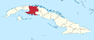
Matanzas is one of the provinces of Cuba. Major towns in the province include Cárdenas, Colón, Jovellanos and the capital of the same name, Matanzas. The resort town of Varadero is also located in this province.

Las Tunas is one of the provinces of Cuba. Major towns include Puerto Padre, Amancio, and the capital city, Las Tunas.

San Miguel del Padrón is one of the 15 municipalities/boroughs into which the city of Havana, Cuba is divided. It is on Havana's south-eastern outskirts, stretching from Ciudad Mar to Diezmero and from Reparto Mañana to Caballo Blanco.

San Antonio de los Baños is a municipality and town in the Artemisa Province of Cuba. It is located 26 km from the city of Havana, and the Ariguanabo River runs through it. It was founded in 1802.

Yara is a small town and municipality in the Granma Province of Cuba, located halfway between the cities of Bayamo and Manzanillo, in the Gulf of Guacanayabo. Yara means "place" in the Taíno language.

Jiguaní is a town and municipality in the Granma Province of Cuba. It is located 25 kilometres (16 mi) east of Bayamo, the provincial capital.

Arroyo Naranjo is one of the 15 municipalities or boroughs in the city of Havana, Cuba. It became part of Havana city while the capital grew.
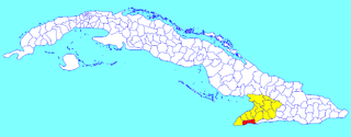
Pilón is a municipality and town in the Granma Province of Cuba. It is located on the southern coast of Cuba, in an inlet of the Caribbean Sea.
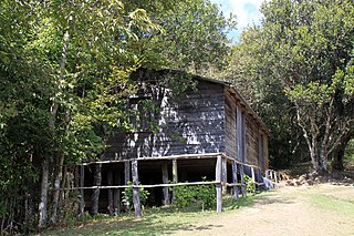
Bartolomé Masó is a municipality and town in the Granma Province of Cuba.

Cauto Cristo is a municipality and town in the Granma Province of Cuba. It is located on the banks of the Río Cauto, in the western part of the province, bordering the provinces of Holguín and Las Tunas.

Media Luna is a town and municipality in the Granma Province of Cuba. It is located on the coastal region of the province, bordering the Gulf of Guacanayabo, between Niquero and Campechuela.

Niquero is a municipality and town in the Granma Province of Cuba and is the southernmost municipality in the country. It is located in the coastal region of the province, bordering the Gulf of Guacanayabo. Cape Cruz, the westernmost point of the province is located in this municipality.

Río Cauto is a municipality and town in the Granma Province of Cuba. It is located in the northern part of the province, upstream of the mouth of Cauto River.

Baraguá is a municipality and town in the Ciego de Ávila Province of Cuba. Its administrative seat is located in the town of Gaspar.

Bolivia is a municipality and town in the Ciego de Ávila Province of Cuba. It is located in the north-eastern part of the province, bordering the Bay of Jiguey and Cayo Romano.
Ciro Redondo is a municipality and town in the Ciego de Ávila Province of Cuba. It is located halfway between the cities of Ciego de Ávila and Morón and was named after Ciro Redondo (Revolutionary).

Colombia is a municipality and town in the Las Tunas Province of Cuba. It is located in the western part of the province, 10 kilometres (6.2 mi) south of Guáimaro. Río Tana flows through the community.

Jesús Menéndez also known as Chaparra is a municipality and town in the Las Tunas Province of Cuba. It was named after the Cuban trade unionist Jesús Menéndez Larrondo.

Jobabo is a municipality and town in the Las Tunas Province of Cuba. It is located in the southern part of the province, 34 km (21 mi) south of Las Tunas, the provincial capital.
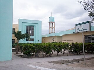
Majibacoa is a municipality and town in the Las Tunas Province of Cuba. The municipal seat is located in the town of Calixto, immediately east of Las Tunas, the provincial capital.


