This article needs additional citations for verification .(July 2022) |
Candelaria | |
|---|---|
Municipality | |
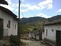
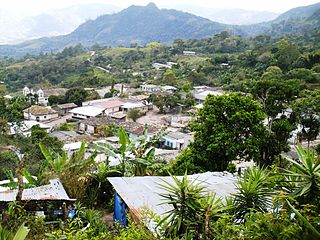
 Downtown Candelaria | |
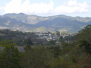
 Candelaria Location in Honduras | |
| Coordinates: 14°05′N88°34′W / 14.083°N 88.567°W | |
| Country | Honduras |
| Department | Lempira |
| Village since | 1872 |
| Municipality since | 20 February 1897 |
| Area | |
| • Total | 60 km2 (20 sq mi) |
| Population (2015) | |
| • Total | 6,858 |
| • Density | 110/km2 (300/sq mi) |
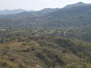
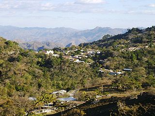
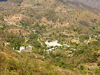
Candelaria is a municipality in the Honduran department of Lempira.
Contents
Candelaria is one of the municipalities of the Lempira department. It is located 96 km away from Gracias city, and passing by San Juan del Caite (Intibuca). In terms of time, that is about 3.5 hours of driving on an unpaved road, going up and down through mountains, one of them is "Congolón" where the hero Lempira fought the Spanish conquerors. This road is constantly being repaired all year long by "Fondo Cafetero" and the Government. One must pay attention to all deviations, hopefully there are several houses to ask for direction in any case.