Related Research Articles

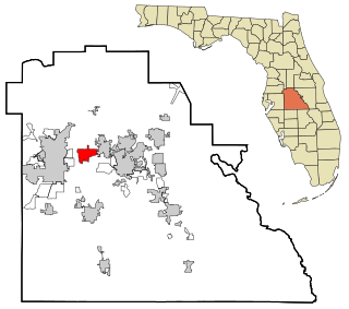
Fussels Corner is a census-designated place (CDP) in Polk County, Florida, United States. The population was 5,313 at the 2000 census. It is part of the Lakeland–Winter Haven Metropolitan Statistical Area.

Fleming is a town in Cayuga County, New York, United States. The population was 2,636 at the 2010 census. The name is that of General George Fleming, an early settler. Fleming is at the north end of Owasco Lake, south of Auburn.

Locke is a town in Cayuga County, New York, United States. The population was 1,951 at the 2010 census. The town was named after John Locke, an English philosopher, and is the birthplace of Millard Fillmore, 13th President of the United States.

Niles is a town in Cayuga County, New York, United States. The population was 1,194 at the 2010 census. Niles lies in the eastern part of the county southeast of Auburn.

Chemung is a town in Chemung County, New York, United States. The population was 2,563 at the 2010 census. The town name is derived from the Chemung River, which means "Big Horn" in the native language.

Harford is a town in Cortland County, New York, United States. The population was 943 at the 2010 census. Harford is in the southwest corner of Cortland County and is south of Cortland.

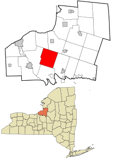
Palermo is a town in Oswego County in the U.S. state of New York. The population was 3,664 at the 2010 census. The town is named after Palermo in Sicily.
Paradise Hill is a town in the northwest corner of Sequoyah County, Oklahoma, United States. It is part of the Fort Smith, Arkansas-Oklahoma Metropolitan Statistical Area. The population was 85 at the 2010 census, a decline from 100 at the 2000 census.

Ripley is a town on Lake Erie in the westernmost part of Chautauqua County, New York, United States. The population was 2,415 at the 2010 census. The town was named after Eleazer Wheelock Ripley, a general in the War of 1812. There are no incorporated villages in the town, but there is one census-designated place: the hamlet of Ripley. The town is perhaps best known as being the western end of the New York State Thruway.

The Squamscott River is a 6-mile-long (9.7 km) tidal river in Rockingham County, southeastern New Hampshire, in the United States. It rises at Exeter, fed by the Exeter River. The Squamscott runs north between Newfields and Stratham to Great Bay, a tidal estuary, which is connected to the Piscataqua River, a tidal inlet of the Atlantic Ocean.

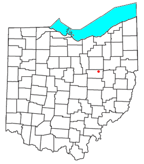
Mount Hope is an unincorporated community in eastern Salt Creek Township, Holmes County, Ohio, United States. Although it is unincorporated, it has a post office, with the ZIP code of 44660. It lies along State Route 241.

Stevensburg is a small rural unincorporated community located at the intersection of Route 3 and Route 663 in Culpeper County, Virginia, United States. Stevensburg is about 6.9 miles east of Culpeper. Stevensburg's ZIP code is 22741. The post office is headquartered in a building approximately 10 by 15 feet, thereby making it one of the smallest post offices in America. Floriculture is a prominent industry, as several large, commercial greenhouses are in operation here.

Bradford is an unincorporated community in Morgan Township, Harrison County, Indiana.
Grays Corner is an unincorporated community in Westmoreland County, in the U. S. state of Virginia.
Griffiths Corner is an unincorporated community in Westmoreland County, in the U. S. state of Virginia.

Groton is a town in Tompkins County, New York, United States. The population was 5,950 at the 2010 census. The name is taken from Groton, Massachusetts.
Chapman is an unincorporated community located in Lawrence County, Kentucky, United States on the eastern bank of the Levisa Fork River. It is served by KY Route 2037. A high volume railway line, operated by CSX Transportation, extends through its limits and continues in a southerly direction throughout southeastern Kentucky to western Virginia and points south. Although its location is many miles from the nearest industrial employer, the railroad has served the community as a source of employment. The railroad was first built through the community in 1880 by CSX's predecessor, the Chesapeake and Ohio Railway. C&O employees who resided in Chapman caught the train as it passed through on its multiple daily runs where they reported to work. Chapman, Kentucky is named after its first settler and prominent landowner David Chapman (1803–1845), a native of Montgomery, West Virginia. Many of Chapman's descendants still reside in the community at this time. Chapmansville, West Virginia, a city located on U.S. Route 119 about forty miles east of Chapman, was established in 1800 by David Chapman's uncle Ned Chapman, as he was its first postmaster and general store operator. The Chapman surname is an anglicized version of the German name Kaufmann, the German word for merchant. David Chapman's ancestors originally emigrated to North America from Kaufmann, Germany. Chapman is located 10 miles (16 km) south of Louisa, Kentucky.

Canton is an unincorporated community in Washington Township, Washington County, in the U.S. state of Indiana.
Rattlesnake Knob is a summit in Sauk County, Wisconsin, in the United States. With an elevation of 1,204 feet (367 m), Rattlesnake Knob is the 105th highest summit in the state of Wisconsin. The summit lies adjacent to the Haystack Hills and about five miles west of Wisconsin Dells, Wisconsin along route H.
Baryties is an unincorporated community in Washington County, in the U.S. state of Missouri.
References
| This Westmoreland County, Virginia state location article is a stub. You can help Wikipedia by expanding it. |
