Catlodge
| |
|---|---|
 | |
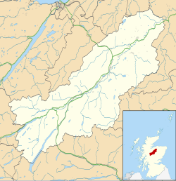 Catlodge Location within the Badenoch and Strathspey area | |
| OS grid reference | NN636931 |
| Council area | |
| Country | Scotland |
| Sovereign state | United Kingdom |
| Post town | Laggan |
| Postcode district | PH20 1 |
| Police | Scotland |
| Fire | Scottish |
| Ambulance | Scottish |
Catlodge (Scottish Gaelic : Caitleag) is a hamlet, in the district of Newtonmore in Inverness-shire, Scottish Highlands and is in the Scottish council area of Highland. [1] It is located east of Loch Laggan and 7 miles (11 kilometres) north of Dalwhinnie. One of General Wade's military road, which is now the A889, built in the mid 18th century, passes through Catlodge, approaching from the south.
